
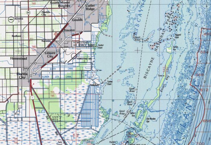
Image: Lowerbiscaynebaychart
No higher resolution available.
Lowerbiscaynebaychart.jpg (700 × 480 pixels, file size: 102 KB, MIME type: image/jpeg)
Description: Downloaded from Historical Map & Chart Project Image Catalog MIAMI FL TOPOGRAPHIC BATHYMETRIC MAP 25080_A1_TB_250 1988 (portion)
Title: Lowerbiscaynebaychart
Usage Terms: Public domain
License: Public domain
Attribution Required?: No
Image usage
There are no pages that link to this image.

All content from Kiddle encyclopedia articles (including the article images and facts) can be freely used under Attribution-ShareAlike license, unless stated otherwise.