
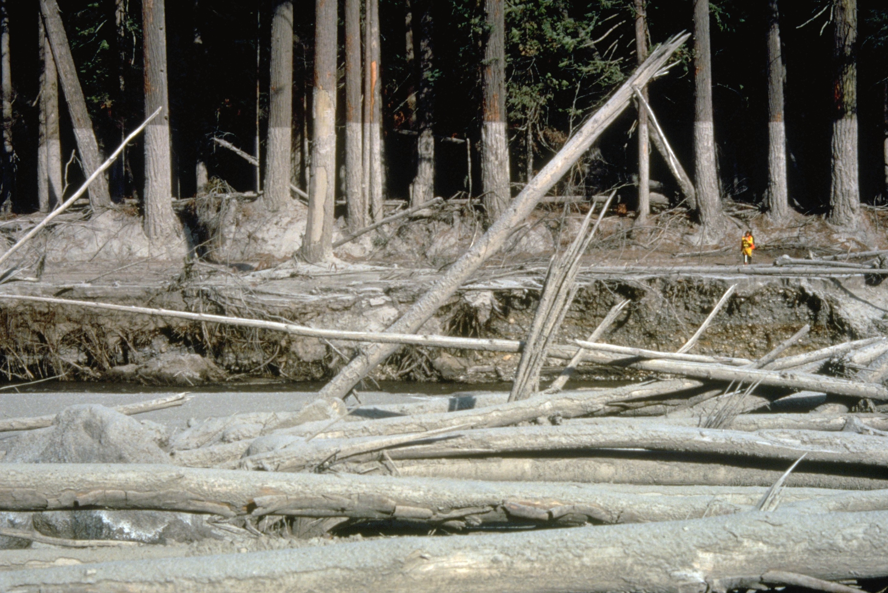
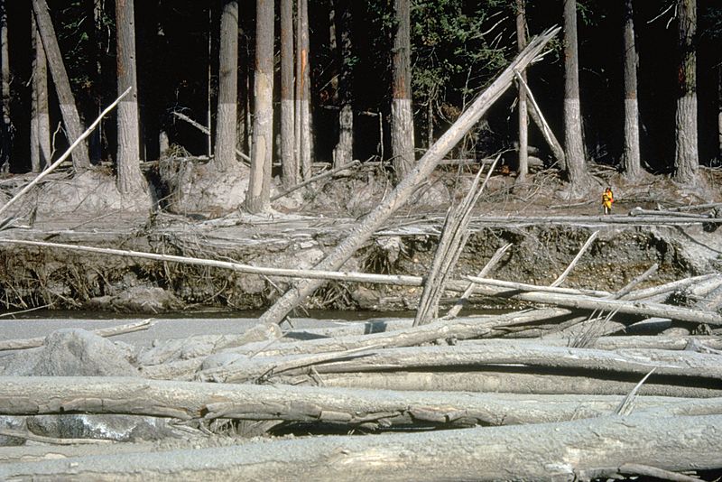
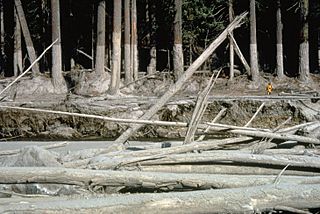
Image: MSH80 mudline muddy river with USGS scientist 10-23-80
Size of this preview: 800 × 534 pixels. Other resolutions: 320 × 214 pixels | 2,916 × 1,948 pixels.
Original image (2,916 × 1,948 pixels, file size: 1.21 MB, MIME type: image/jpeg)
Description: (copied description from USGS site): Nearly 135 miles (220 kilometers) of river channels surrounding the volcano [Mt. St. Helens] were affected by the lahars of May 18, 1980. A mudline left behind on trees shows depths reached by the mud. A scientist (middle right) gives scale. This view is along the Muddy River, southeast of Mount St. Helens.
Title: MSH80 mudline muddy river with USGS scientist 10-23-80
Credit: http://vulcan.wr.usgs.gov/Glossary/Lahars/description_lahars.html
Author: Lyn Topinka, USGS
Usage Terms: Public domain
License: Public domain
Attribution Required?: No
Image usage
The following 2 pages link to this image:

All content from Kiddle encyclopedia articles (including the article images and facts) can be freely used under Attribution-ShareAlike license, unless stated otherwise.