
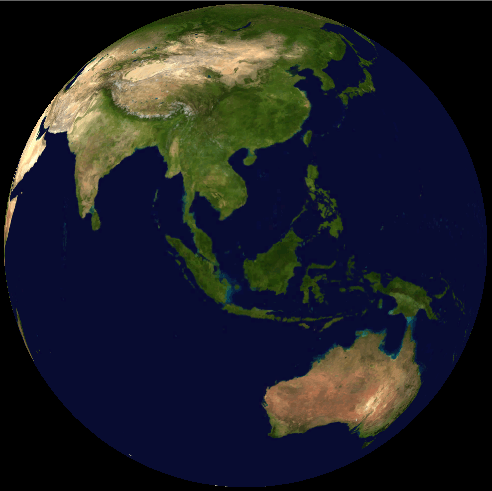
Image: Malaysia on satellite map (NASA World Wind)
No higher resolution available.
Malaysia_on_satellite_map_(NASA_World_Wind).PNG (492 × 491 pixels, file size: 211 KB, MIME type: image/png)
Description: Geography of Malaysia in Southeast Asia based on a satellite picture.
Title: Malaysia on satellite map (NASA World Wind)
Credit: Derived from satellite imagery from NASA World Wind.
Author: Ranking Update, based on work by NASA.
Usage Terms: Public domain
License: Public domain
Attribution Required?: No
Image usage
The following page links to this image:

All content from Kiddle encyclopedia articles (including the article images and facts) can be freely used under Attribution-ShareAlike license, unless stated otherwise.
.PNG)