
Image: Map-Europe 1815-Netherlands

Size of this PNG preview of this SVG file: 710 × 600 pixels. Other resolution: 284 × 240 pixels.
Original image (SVG file, nominally 9,086 × 7,672 pixels, file size: 1.73 MB)
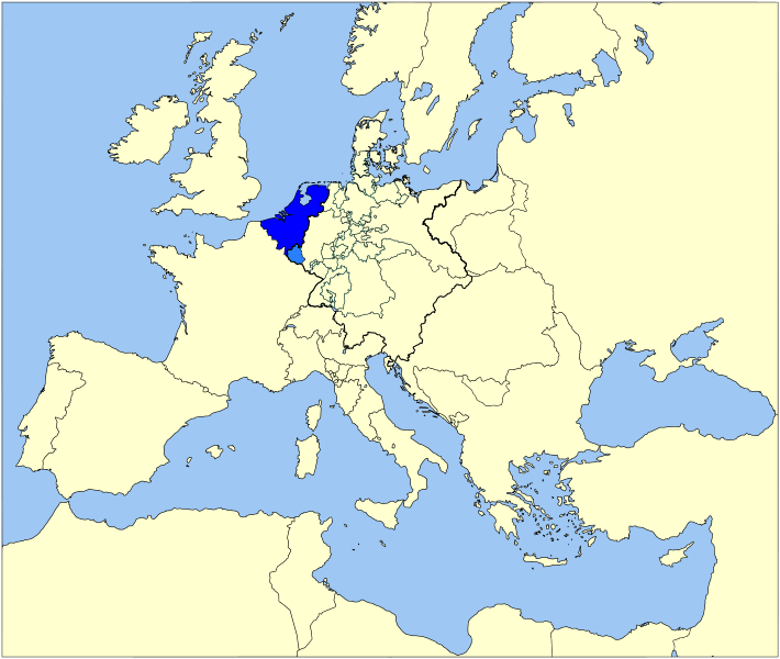
Description: Map of the United Kingdom of the Netherlands (1815-1830) in Europe
Title: Map-Europe 1815-Netherlands
Credit: Based on Image:Map-GermanConfederation.svg by User:52_Pickup
Author: User:Sir_Iain, User:52_Pickup
Usage Terms: Creative Commons Attribution 3.0
License: CC BY 3.0
License Link: http://creativecommons.org/licenses/by/3.0
Attribution Required?: Yes
Image usage
The following page links to this image:

All content from Kiddle encyclopedia articles (including the article images and facts) can be freely used under Attribution-ShareAlike license, unless stated otherwise.