
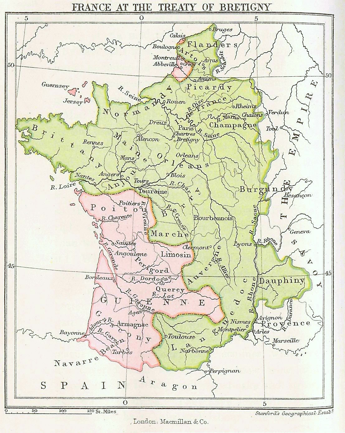
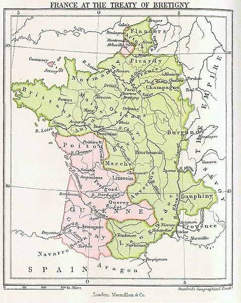
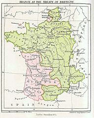
Image: Map- France at the Treaty of Bretigny
Size of this preview: 478 × 600 pixels. Other resolutions: 191 × 240 pixels | 1,107 × 1,389 pixels.
Original image (1,107 × 1,389 pixels, file size: 352 KB, MIME type: image/jpeg)
Description: Map showing France at the time of the Treaty of Bretigny.
Title: Map- France at the Treaty of Bretigny
Credit: Taken from History of the English People, Volume 2 Transferred from en.wikipedia to Commons by User:Logan using CommonsHelper.
Author: John Richard Green
Usage Terms: Public domain
License: Public domain
Attribution Required?: No
Image usage
The following 3 pages link to this image:

All content from Kiddle encyclopedia articles (including the article images and facts) can be freely used under Attribution-ShareAlike license, unless stated otherwise.