
Image: Map Burgundian Netherlands 1477-en

Size of this preview: 539 × 599 pixels. Other resolutions: 216 × 240 pixels | 591 × 657 pixels.
Original image (591 × 657 pixels, file size: 142 KB, MIME type: image/png)
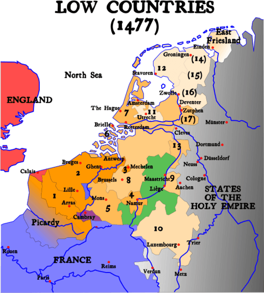
Description: Map of the Low Countries in 1477
Title: Map Burgundian Netherlands 1477-en
Credit: English version of Image:1477 Pays-bas bourguignons.svg (see legend there) Removed watermark read: made for Wikipedia
Author: Denis Jacquerye
Usage Terms: Creative Commons Attribution-Share Alike 1.0
License: CC BY-SA 1.0
License Link: http://creativecommons.org/licenses/by-sa/1.0
Attribution Required?: Yes
Image usage
The following 4 pages link to this image:

All content from Kiddle encyclopedia articles (including the article images and facts) can be freely used under Attribution-ShareAlike license, unless stated otherwise.