
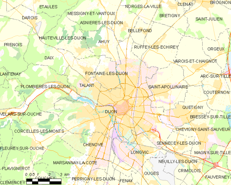
Image: Map commune FR insee code 21231

Description: Map commune FR insee code 21231.png
Author: Map data (c) OpenStreetMap contributors, CC-BY-SA
• Shape files infrastructure: railway, highways, water: all originally by OpenStreetMap contributors. Status december 2011 • Label and Insee code commune: from Geofla (note that commune boundaries are also available under free license at geofla, but not near acceptable quality due to extreme simplification!) • Data for exact commune* and department boundaries: derived via osm download geofabrik.de and osm2pgsql, OpenStreetMap contributors. • Data for landuse: OSM / Corine land cover, 2006 ([1]) • Mentioned sources combined and exported for each commune using a script by Michiel1972
- note: shown commune boundaries are from OSM dump May 2012; at that time about 90% complete
Usage Terms: Creative Commons Attribution-Share Alike 3.0
License: CC-BY-SA-3.0
License Link: http://creativecommons.org/licenses/by-sa/3.0/
Attribution Required?: Yes
Image usage
The following page links to this image:
