
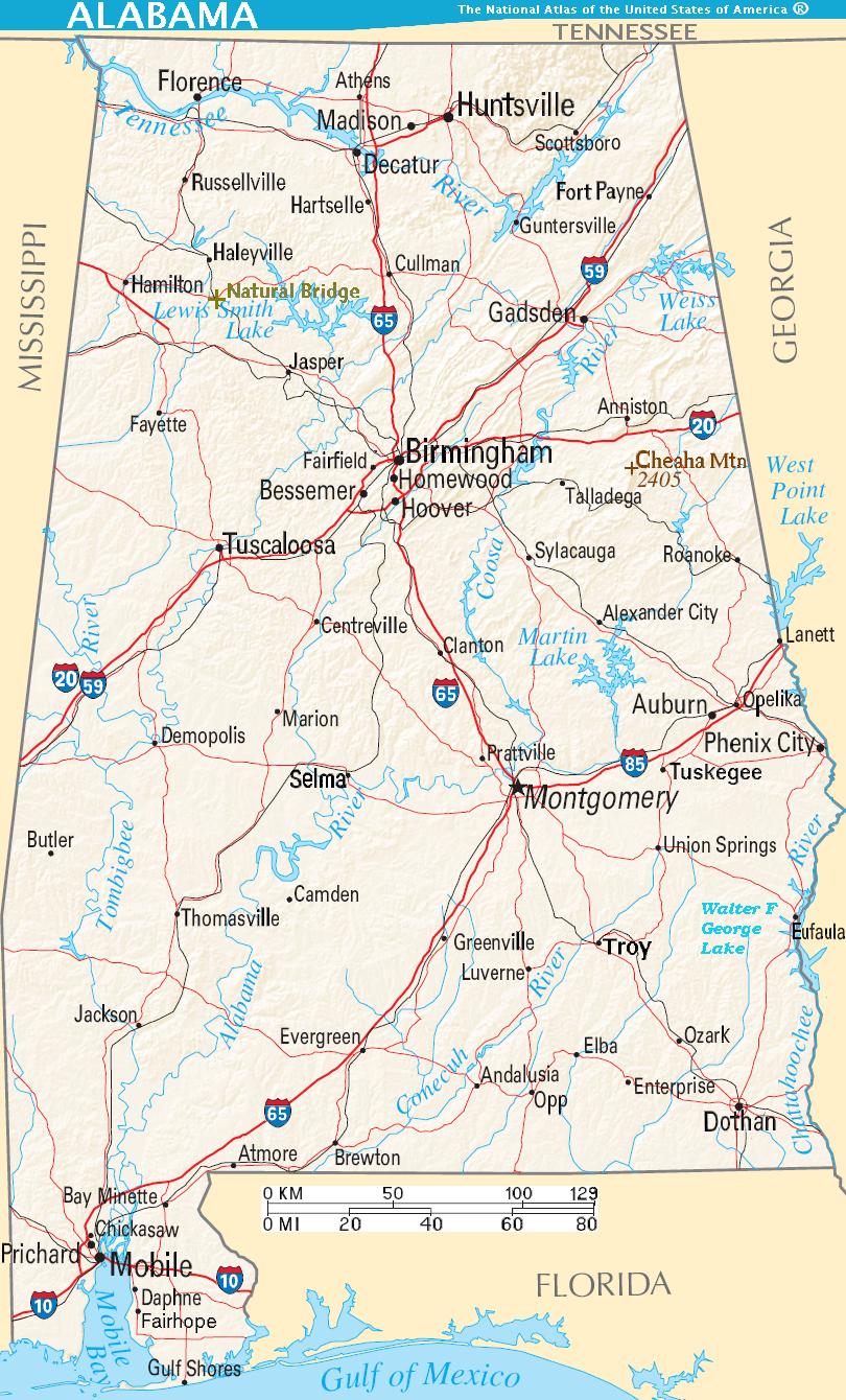
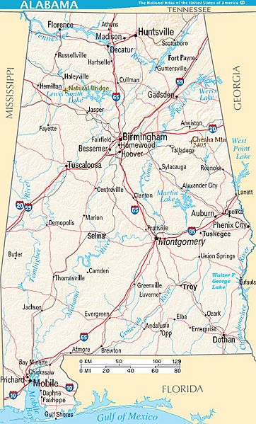
Image: Map of Alabama terrain NA
Description: Scalable map of the U.S. state of Alabama, showing terrain features: hills, lakes, rivers, roads and major towns, in quick photographic format (JPEG) to highlight terrain features. Natural Bridge, Mount Cheaha, and nearby states are labeled; the Interstate icons are enlarged 10%; and major cities are bolded 20% for readability when scaled to 310px display width. The distance scale is shown in miles/kilometers, and labels appear 4x times larger than original in the US National Atlas, at similar display width.
Title: Map of Alabama terrain NA
Credit: National Atlas (cropped to extract terrain only, no legend, with several names enlarged/added)
Author: User:Wikid77 (from National Atlas of the United States)
Usage Terms: Public domain
License: Public domain
Attribution Required?: No
Image usage
The following page links to this image:
