
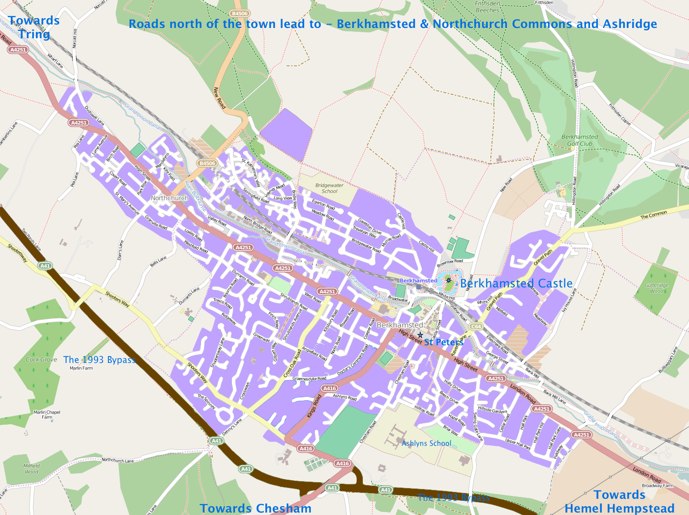
Image: Map of Berkhamsted 2014
Size of this preview: 800 × 598 pixels. Other resolutions: 320 × 239 pixels | 1,405 × 1,050 pixels.
Original image (1,405 × 1,050 pixels, file size: 940 KB, MIME type: image/png)
Description: An edited version of the Open Street Map area of Berkhamsted, licensed under the Open Database License (ODbL) and Creative Commons Attribution-ShareAlike 2.0 license (CC BY-SA). “© OpenStreetMap contributors”.
Title: Map of Berkhamsted 2014
Credit: Own work based on the Open Street Map area of Berkhamsted, licensed under the Open Database License (ODbL) and Creative Commons Attribution-ShareAlike 2.0 license (CC BY-SA). “© OpenStreetMap contributors
Author: Bodney
Usage Terms: Creative Commons Attribution-Share Alike 4.0
License: CC BY-SA 4.0
License Link: http://creativecommons.org/licenses/by-sa/4.0
Attribution Required?: Yes
Image usage
The following page links to this image:

All content from Kiddle encyclopedia articles (including the article images and facts) can be freely used under Attribution-ShareAlike license, unless stated otherwise.