
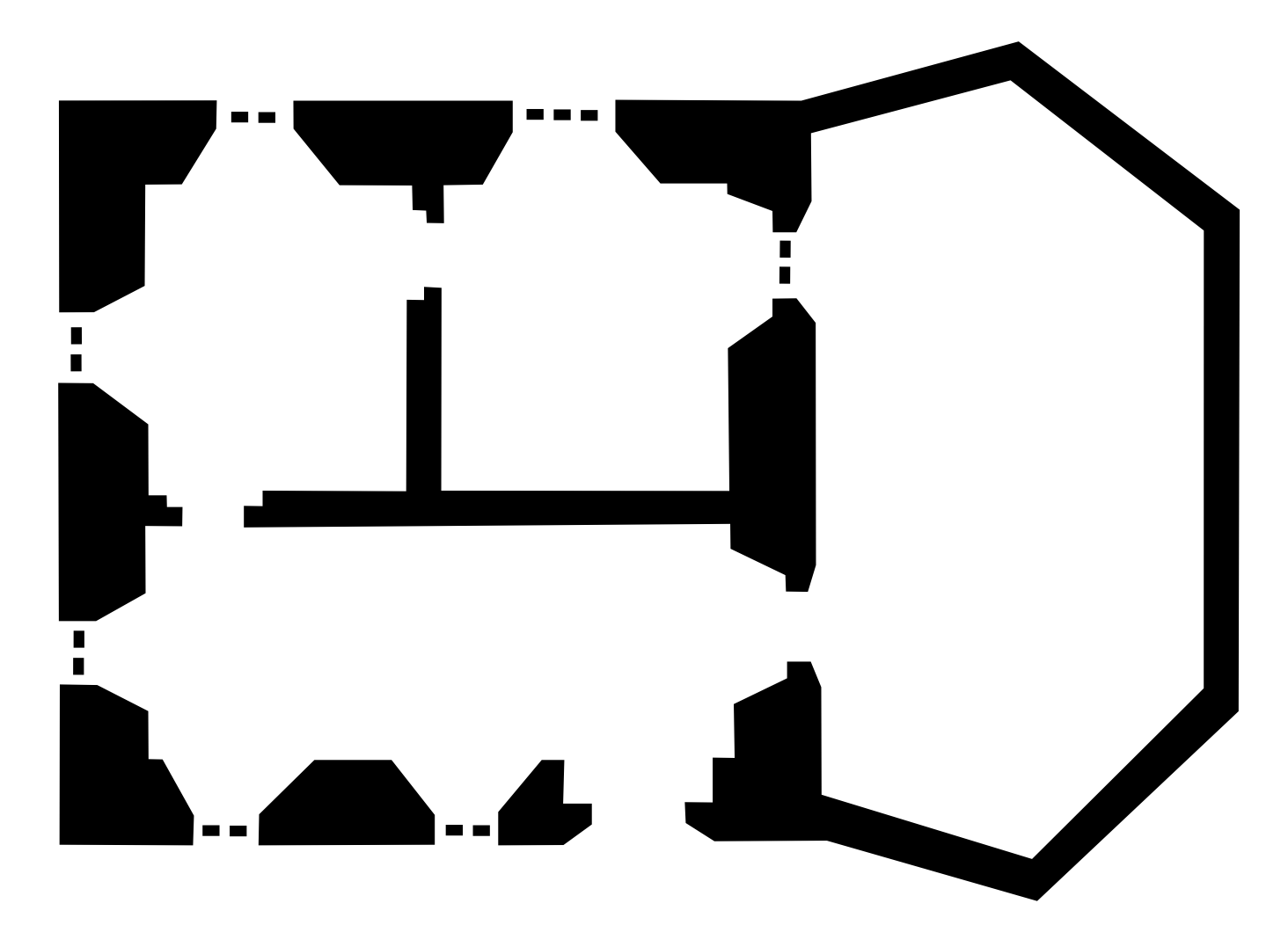
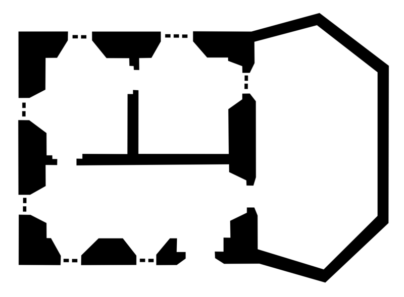
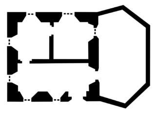
Image: Map of Brownsea Castle
Size of this preview: 800 × 589 pixels. Other resolutions: 320 × 235 pixels | 1,464 × 1,077 pixels.
Original image (1,464 × 1,077 pixels, file size: 40 KB, MIME type: image/png)
Description: After plan on "Poole Harbour in 1597" map; see, for example NT's "Brownsea Castle", p.4
Title: Map of Brownsea Castle
Credit: Own work
Author: Hchc2009
Usage Terms: Creative Commons Attribution-Share Alike 4.0
License: CC BY-SA 4.0
License Link: https://creativecommons.org/licenses/by-sa/4.0
Attribution Required?: Yes
Image usage
The following 2 pages link to this image:

All content from Kiddle encyclopedia articles (including the article images and facts) can be freely used under Attribution-ShareAlike license, unless stated otherwise.