
Image: Map of California highlighting Kern County

Size of this PNG preview of this SVG file: 523 × 599 pixels. Other resolution: 209 × 240 pixels.
Original image (SVG file, nominally 1,022 × 1,171 pixels, file size: 495 KB)
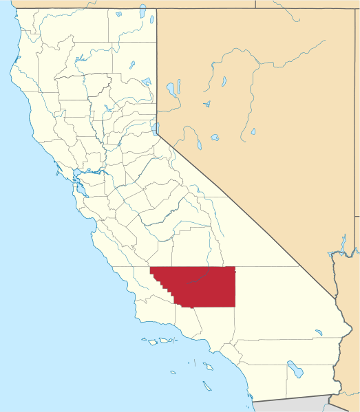
Description: Locator map showing Kern County — in central and southern California.
Title: Map of California highlighting Kern County
Credit: No machine-readable source provided. Own work assumed (based on copyright claims).
Author: No machine-readable author provided. David Benbennick assumed (based on copyright claims).
Usage Terms: Public domain
License: Public domain
Attribution Required?: No
Image usage
The following 12 pages link to this image:
- Barnes Settlement, California
- Canfield, California
- Girard, California
- Kern County, California
- List of counties in California
- McKittrick Tar Pits
- Moseman, California
- National Register of Historic Places listings in Kern County, California
- Riverview, Kern County, California
- Sand Cut, California
- Winter Garden, California
- Template:Kern County, California

All content from Kiddle encyclopedia articles (including the article images and facts) can be freely used under Attribution-ShareAlike license, unless stated otherwise.