
Image: Map of Espirito Santo with Capital and Neighbour States
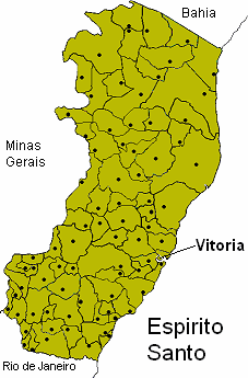
Description: Map of Espirito Santo with Capital and Neighbour States
Title: Map of Espirito Santo with Capital and Neighbour States
Credit: This has been created by myself, it it an improvement of the first one posted here some time ago, I've corrected may border problems and tried to indicate Vitoria as an island more clearly. I've posted all older versions to be deleted as some of those contain an extra municipality which I mistakenly thought existed, and others don't have a capital of a municipalitiy indicated. Kurogawa 17:37, 12 Jun 2004 (UTC)
Author: Kurogawa (talk) (Uploads)
Usage Terms: Attribution-ShareAlike 3.0
License: Cc-by-sa-3.0
License Link: https://creativecommons.org/licenses/by-sa/3.0/
Image usage
There are no pages that link to this image.
