
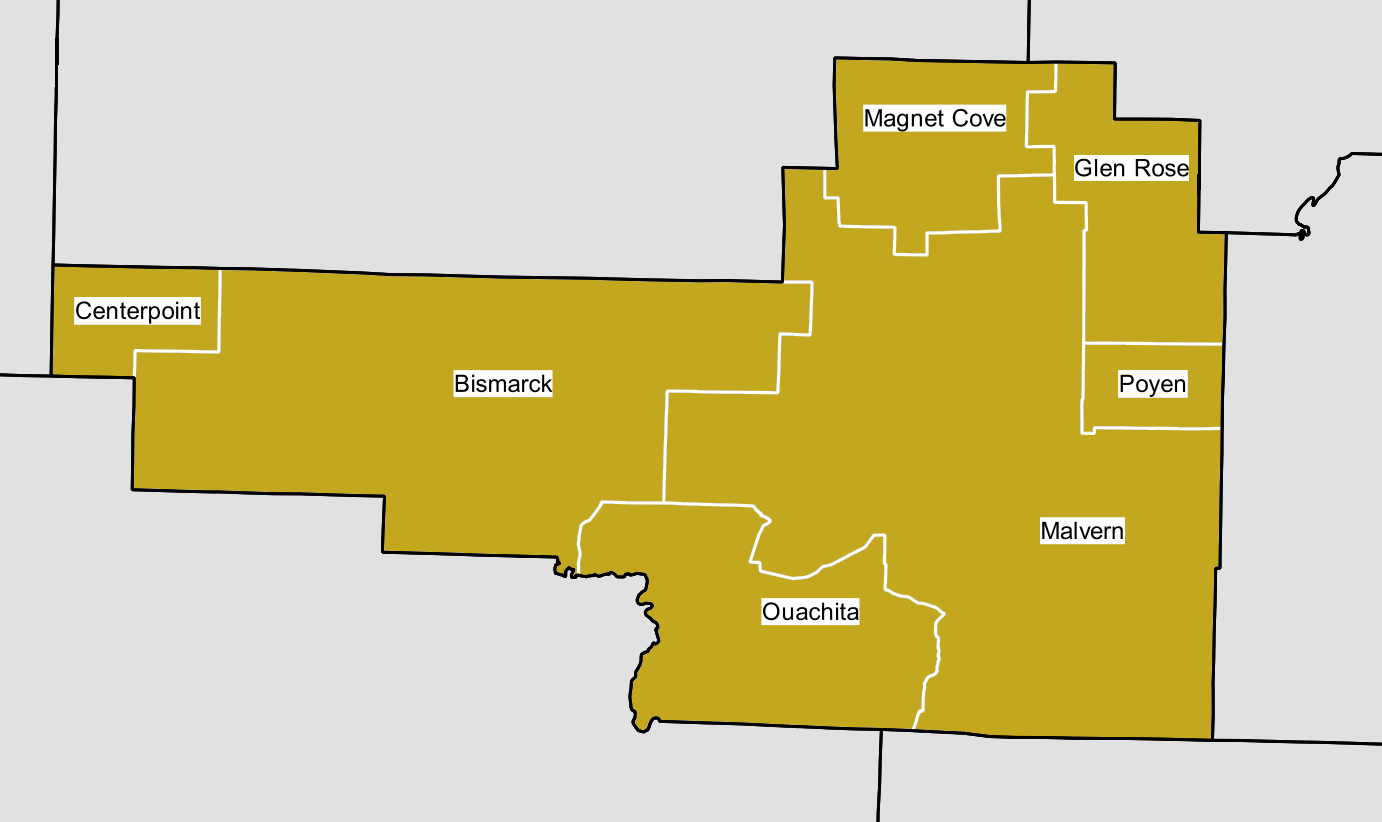
Image: Map of Hot Spring County School Districts
Description: Map of all public school districts in Hot Spring County, AR (mustard) This graphic was created with QGIS Counties Data source: Arkansas GIS Office. Data Provided by Arkansas State Highway and Transportation Department, In Cooperation With The U.S. Department of Transportation Updated 2014-10-16 http://gis.arkansas.gov/?product=county-boundary-polygon Public School District Boundary (polygon) (only shown within county of interest): Data source: Arkansas Secretary of State and the Arkansas Geographic Information Systems Office Updated: 2016-07-22 http://gis.arkansas.gov/?product=public-school-district-boundary-polygon
Title: Map of Hot Spring County School Districts
Credit: Own work
Author: Brandonrush
Usage Terms: Creative Commons Attribution-Share Alike 4.0
License: CC BY-SA 4.0
License Link: http://creativecommons.org/licenses/by-sa/4.0
Attribution Required?: Yes
Image usage
The following page links to this image:
