
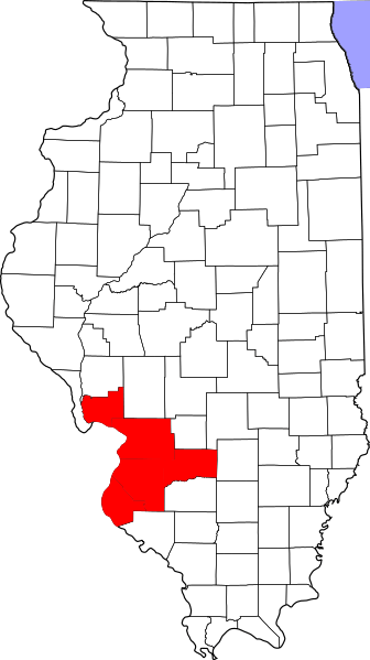
Image: Map of Illinois highlighting Metro-East

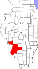
Size of this PNG preview of this SVG file: 336 × 599 pixels. Other resolution: 134 × 240 pixels.
Original image (SVG file, nominally 3,453 × 6,157 pixels, file size: 85 KB)
Description: This is a map showing St. Louis Metro-East, 5 Illinois counties of the St. Louis MSA as described by the 2000 census. Clinton, Jersey, Madison, Monroe and St. Clair counties per http://lmi.ides.state.il.us/lmr/metroeast.htm
Title: Map of Illinois highlighting Metro-East
Credit: Own work
Author: Own work derived from David Benbennick's map. For more information, see Commons:United States county locator maps.
Usage Terms: Public domain
License: Public domain
Attribution Required?: No
Image usage
The following page links to this image:

All content from Kiddle encyclopedia articles (including the article images and facts) can be freely used under Attribution-ShareAlike license, unless stated otherwise.