
Image: Map of Lappeenranta 1894
Size of this preview: 376 × 600 pixels. Other resolutions: 150 × 240 pixels | 2,217 × 3,536 pixels.
Original image (2,217 × 3,536 pixels, file size: 2.18 MB, MIME type: image/jpeg)
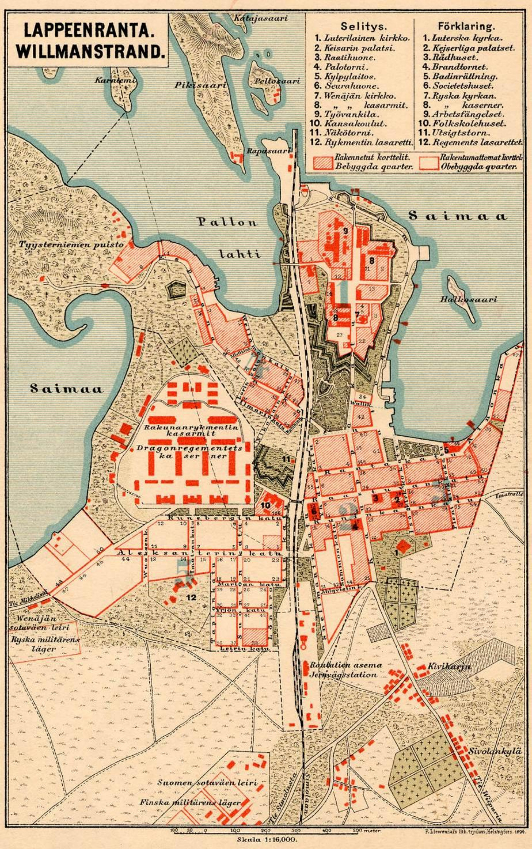
Description: Map of Lappeenranta from 1894. Creator unknown, published by the Travellers’ Association, printed by the Frans Liewendal Lithographic Printing Company. Based on the 1892 city plan also known as the Emperor’s Plan by Albin Hannikainen.
Title: Map of Lappeenranta 1894
Credit: http://kokoushallinta.lappeenranta.fi/dynastyweb/kokous/20134253-4-2.PDF
Author: Unknown author
Usage Terms: Public domain
License: Public domain
Attribution Required?: No
Image usage
The following page links to this image:

All content from Kiddle encyclopedia articles (including the article images and facts) can be freely used under Attribution-ShareAlike license, unless stated otherwise.