
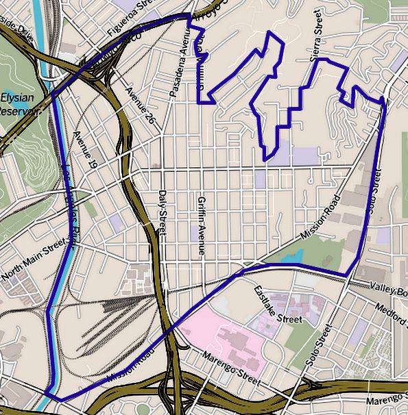
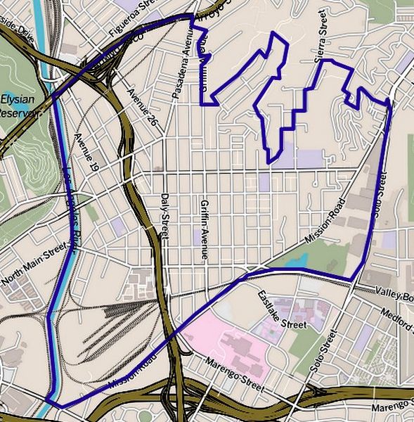
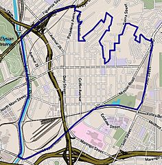
Image: Map of Lincoln Heights neighborhood, Los Angeles, California
Description: Map of Lincoln Heights, California, as delineated by the Los Angeles Times Other information Boundary map as drawn by the Los Angeles Times on a CC-by-SA background. Note at bottom right of map on the L.A. Times website noted above says "CC-by-SA" (which gives permission to use the map). There is a link there to http://creativecommons.org/licenses/by-sa/2.0, which explains the meaning thereof. The base map is credited to http://www.openstreetmap.org/ The Times spells all this out at http://projects.latimes.com/mapping-la/about/#the-data
Title: Map of Lincoln Heights neighborhood, Los Angeles, California
Credit: http://maps.latimes.com/neighborhoods/neighborhood/lincoln-heights/
Author: Los Angeles Times
Permission: (Original text : http://maps.latimes.com/neighborhoods/neighborhood/lincoln-heights/)
Usage Terms: Creative Commons Attribution 2.0
License: CC BY 2.0
License Link: http://creativecommons.org/licenses/by/2.0
Attribution Required?: Yes
Image usage
There are no pages that link to this image.
