
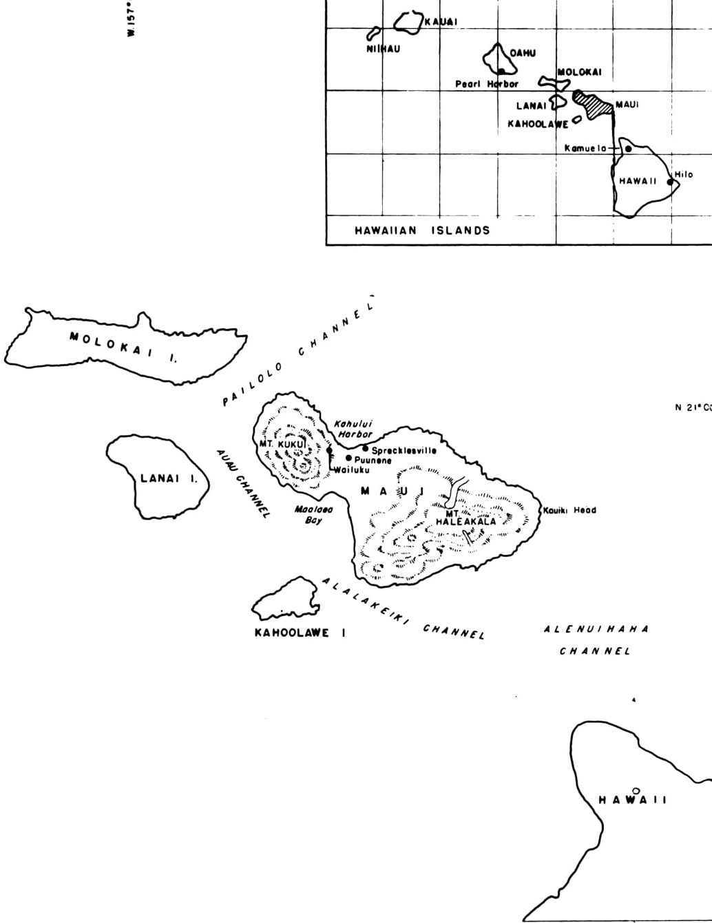
Image: Map of Maui Island
Size of this preview: 462 × 599 pixels. Other resolutions: 185 × 240 pixels | 1,034 × 1,341 pixels.
Original image (1,034 × 1,341 pixels, file size: 127 KB, MIME type: image/jpeg)
Description: Map of Maui Island
Title: Map of Maui Island
Credit: Building the Navy's Bases in World War II, Volume II
Author: United States Bureau of Yards and Docks
Usage Terms: Public domain
License: Public domain
Attribution Required?: No
Image usage
The following page links to this image:

All content from Kiddle encyclopedia articles (including the article images and facts) can be freely used under Attribution-ShareAlike license, unless stated otherwise.