
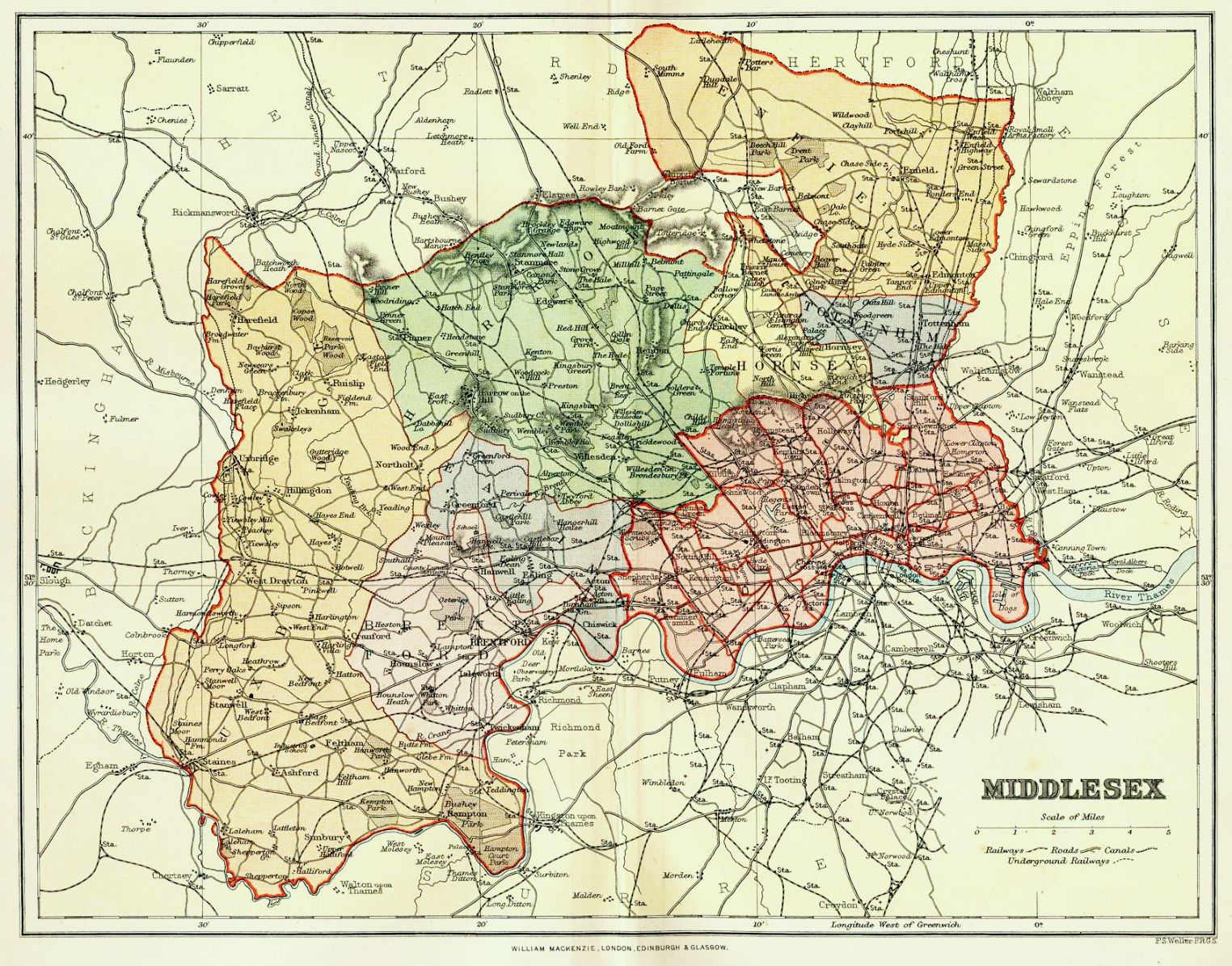
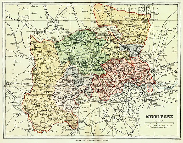
Image: Map of Middlesex
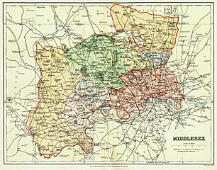
Size of this preview: 765 × 599 pixels. Other resolutions: 306 × 240 pixels | 1,524 × 1,194 pixels.
Original image (1,524 × 1,194 pixels, file size: 520 KB, MIME type: image/jpeg)
Description: Colour engraving of a map of the County of Middlesex, England, by F. S. Weller published by William Mackenzie in The Comprehensive Gazetteer of England and Wales, c. 1891-95. Includes areas transferred to new County of London in 1889 and areas that remained part of the administrative county until its abolition in 1965.
Title: Map of Middlesex
Credit: www.middx.net
Author: Engraved by F. S. Weller (1849-1910); published by William Mackenzie
Usage Terms: Public domain
License: Public domain
License Link: //en.wikipedia.org/wiki/File:Map_of_Middlesex.jpg
Image usage
The following page links to this image:

All content from Kiddle encyclopedia articles (including the article images and facts) can be freely used under Attribution-ShareAlike license, unless stated otherwise.