
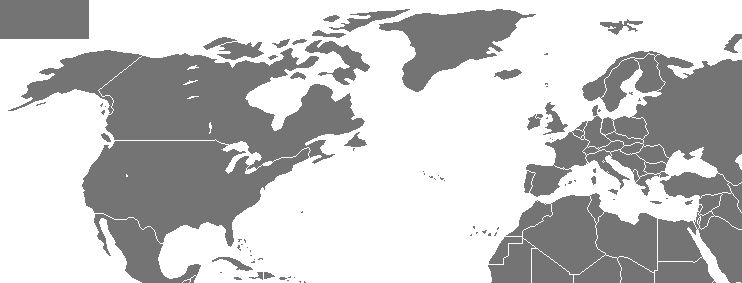
Image: Map of NATO chronological
No higher resolution available.
Map_of_NATO_chronological.gif (742 × 283 pixels, file size: 49 KB, MIME type: image/gif, looped, 23 frames, 47 s)
Description: An animated map of the expansion of the intergovernmental military alliance NATO from its founding to 2009
Title: Map of NATO chronological
Credit: based on Image:Map of NATO countries.png
Author: Arz
Usage Terms: Creative Commons Attribution-Share Alike 3.0
License: CC-BY-SA-3.0
License Link: http://creativecommons.org/licenses/by-sa/3.0/
Attribution Required?: Yes
Image usage
The following page links to this image:

All content from Kiddle encyclopedia articles (including the article images and facts) can be freely used under Attribution-ShareAlike license, unless stated otherwise.