
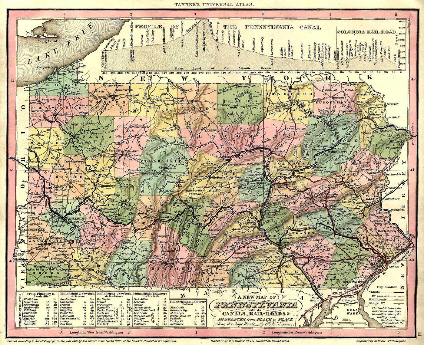
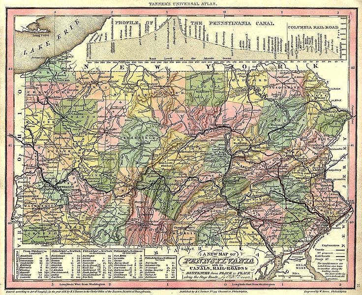
Image: Map of Pennsylvania counties in 1836
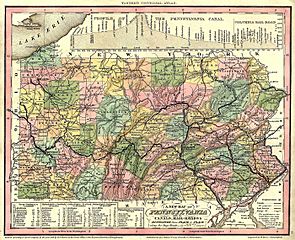
Size of this preview: 736 × 599 pixels. Other resolutions: 295 × 240 pixels | 1,400 × 1,140 pixels.
Original image (1,400 × 1,140 pixels, file size: 401 KB, MIME type: image/jpeg)
Description: A map of the counties of Pennsylvania in 1836.
Title: Map of Pennsylvania counties in 1836
Credit: http://www.usgwarchives.org/maps/pa/county/
Author: W. Brose
Usage Terms: Public domain
License: Public domain
Attribution Required?: No
Image usage
The following 2 pages link to this image:

All content from Kiddle encyclopedia articles (including the article images and facts) can be freely used under Attribution-ShareAlike license, unless stated otherwise.