
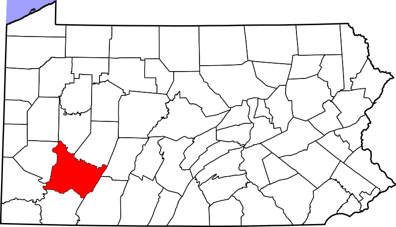
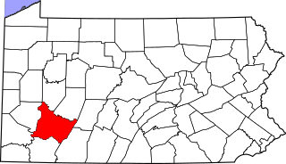
Image: Map of Pennsylvania highlighting Westmoreland County

Size of this PNG preview of this SVG file: 800 × 460 pixels. Other resolution: 320 × 184 pixels.
Original image (SVG file, nominally 4,950 × 2,846 pixels, file size: 106 KB)
Description: A locator map of Westmoreland County — in southwestern Pennsylvania.
Title: Map of Pennsylvania highlighting Westmoreland County
Credit: No machine-readable source provided. Own work assumed (based on copyright claims).
Author: No machine-readable author provided. David Benbennick assumed (based on copyright claims).
Usage Terms: Public domain
License: Public domain
Attribution Required?: No
Image usage
The following 8 pages link to this image:
- List of Pennsylvania state historical markers in Westmoreland County
- List of counties in Pennsylvania
- Mount Pleasant Township, Westmoreland County, Pennsylvania
- National Register of Historic Places listings in Westmoreland County, Pennsylvania
- North Huntingdon Township, Westmoreland County, Pennsylvania
- Rostraver Township, Westmoreland County, Pennsylvania
- Westmoreland County, Pennsylvania
- Template:Westmoreland County, Pennsylvania

All content from Kiddle encyclopedia articles (including the article images and facts) can be freely used under Attribution-ShareAlike license, unless stated otherwise.