
Image: Map of Rancho San Francisco
Size of this preview: 800 × 600 pixels. Other resolutions: 320 × 240 pixels | 2,160 × 1,620 pixels.
Original image (2,160 × 1,620 pixels, file size: 1.74 MB, MIME type: image/jpeg)
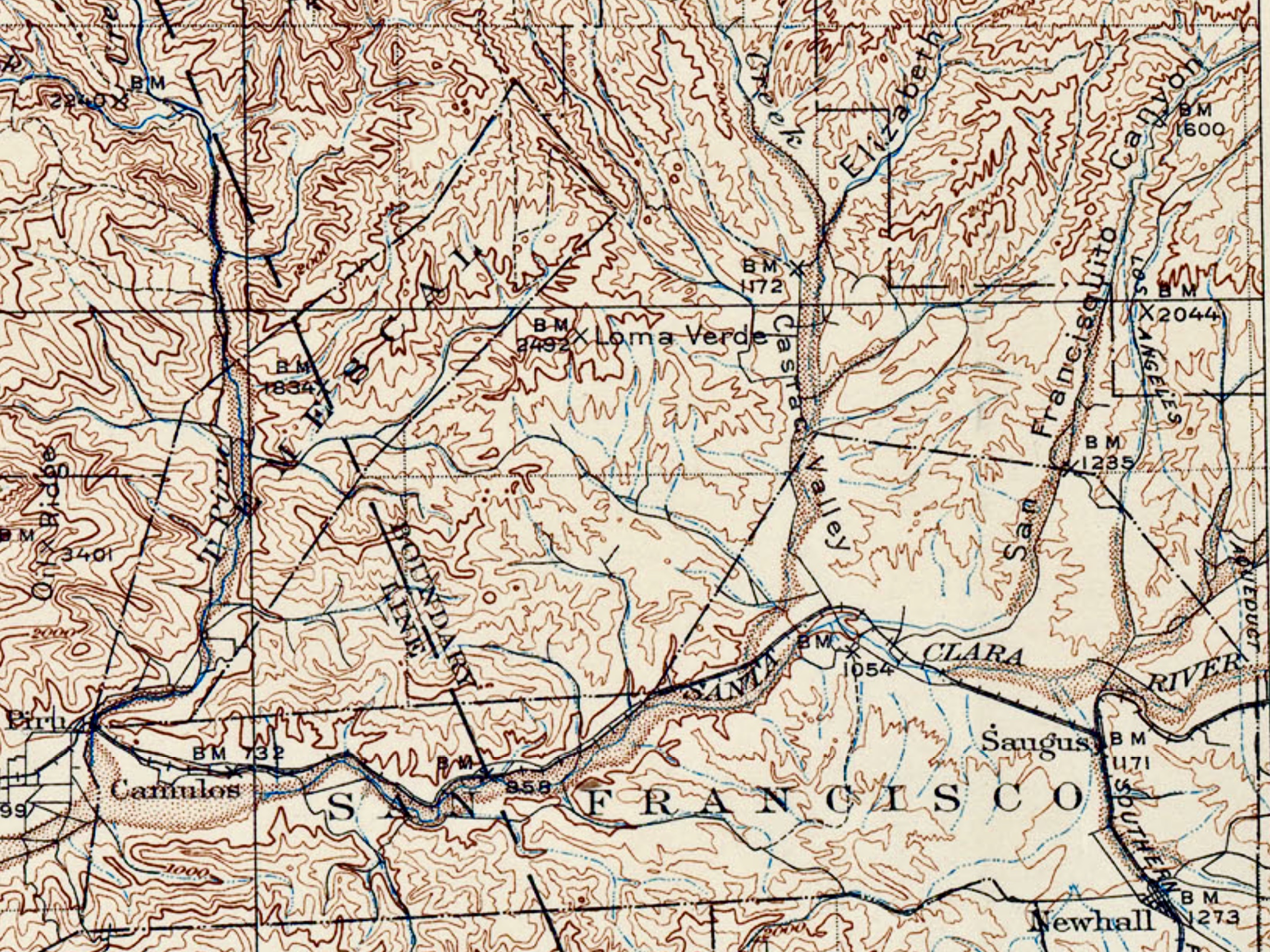
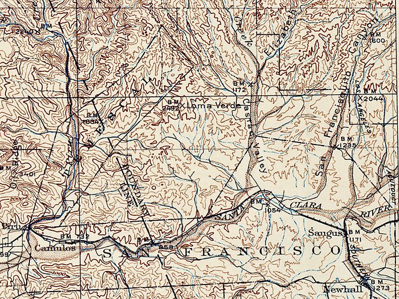
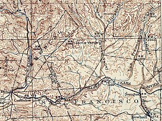
Description: Portion of topo map of Southern California focusing on Rancho San Francisco, including Camulos, Castac, and Newhall. Source: USGS, “Southern California Sheet No. 3,” surveyed 1893-1904; US Department of the Interior (1931).
Title: Map of Rancho San Francisco
Credit: Own work
Author: Ad17minstral
Usage Terms: Creative Commons Attribution-Share Alike 4.0
License: CC BY-SA 4.0
License Link: https://creativecommons.org/licenses/by-sa/4.0
Attribution Required?: Yes
Image usage
The following 2 pages link to this image:

All content from Kiddle encyclopedia articles (including the article images and facts) can be freely used under Attribution-ShareAlike license, unless stated otherwise.