
Image: Map of Somerset Levels

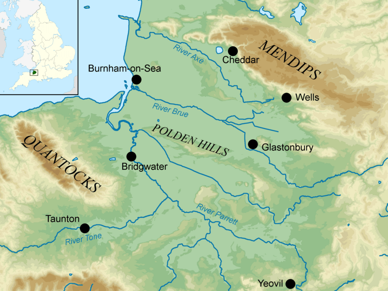
Description: Map showing the Somerset Levels and the surrounding area. The major hill ranges and rivers are shown. The map projection is the Ordnance Survey National Grid on OSGB36 datum. Height 0-20m 20-40m 40-60m 60-80m 80-100m 100-120m 120-140m 140-160m 160-18m 180-200m 200-230m 230-260m 260-300m 300-384m
Title: Map of Somerset Levels
Credit: Ordnance Survey OpenData. Coastline and administrative boundaries from Boundary-Line product River and lake data from Meridian 2 product Contour data from Land-Form panorama product Inset derived from File:England location map.svg by Spischot.
Author: Nilfanion
Usage Terms: Creative Commons Attribution-Share Alike 3.0
License: CC BY-SA 3.0
License Link: https://creativecommons.org/licenses/by-sa/3.0
Attribution Required?: Yes
Image usage
The following page links to this image:
