
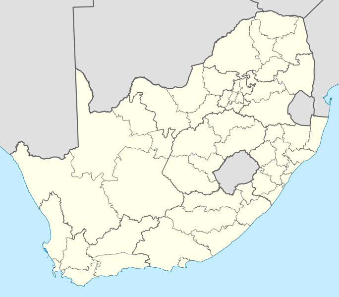
Image: Map of South Africa with district borders (2009)

Size of this PNG preview of this SVG file: 684 × 599 pixels. Other resolution: 274 × 240 pixels.
Original image (SVG file, nominally 809 × 709 pixels, file size: 1.32 MB)
Description: Map of South Africa with the borders of the provinces and the district and metropolitan municipalities, as they were after the transfer of Merafong City to Gauteng on 22 April 2009
Title: Map of South Africa with district borders (2009)
Credit: Own work
Author: Htonl
Usage Terms: Creative Commons Attribution-Share Alike 3.0
License: CC BY-SA 3.0
License Link: http://creativecommons.org/licenses/by-sa/3.0
Attribution Required?: Yes
Image usage
The following page links to this image:

All content from Kiddle encyclopedia articles (including the article images and facts) can be freely used under Attribution-ShareAlike license, unless stated otherwise.
.svg)