
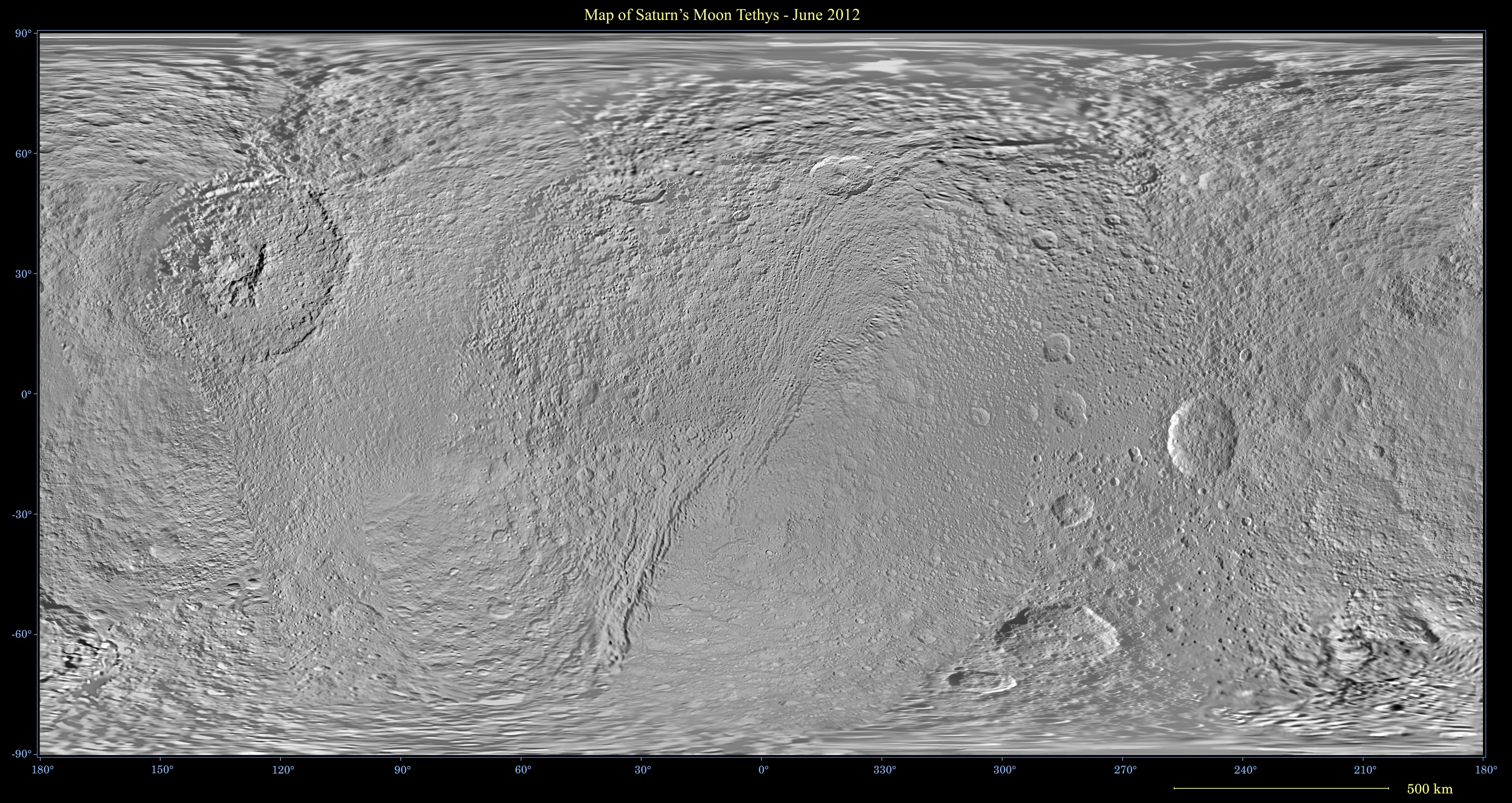
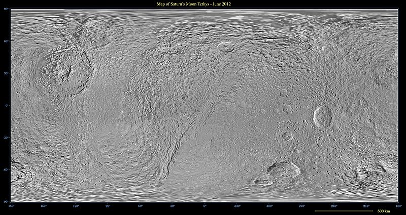
Image: Map of Tethys PIA 14931 Jun 2012
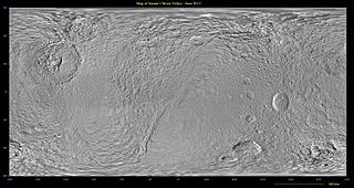
Size of this preview: 800 × 425 pixels. Other resolutions: 320 × 170 pixels | 3,017 × 1,602 pixels.
Original image (3,017 × 1,602 pixels, file size: 1.93 MB, MIME type: image/jpeg)
Description: Map of Tethys - June 2012 [quarter size] This global map of Saturn's moon Tethys was created using images taken during Cassini spacecraft flybys. The map is an equidistant (simple cylindrical) projection and has a scale of 293 meters (960 feet) per pixel at the equator in the full size version. The mean radius of Tethys used for projection of this map is 536.3 kilometers (333.2 miles). The resolution of the map is 32 pixels per degree. This map is an update to the version released in February 2010. See PIA12560
Title: Map of Tethys PIA 14931 Jun 2012
Credit: NASA/JPL
Author: Cassini
Usage Terms: Public domain
License: Public domain
Attribution Required?: No
Image usage
The following page links to this image:

All content from Kiddle encyclopedia articles (including the article images and facts) can be freely used under Attribution-ShareAlike license, unless stated otherwise.