
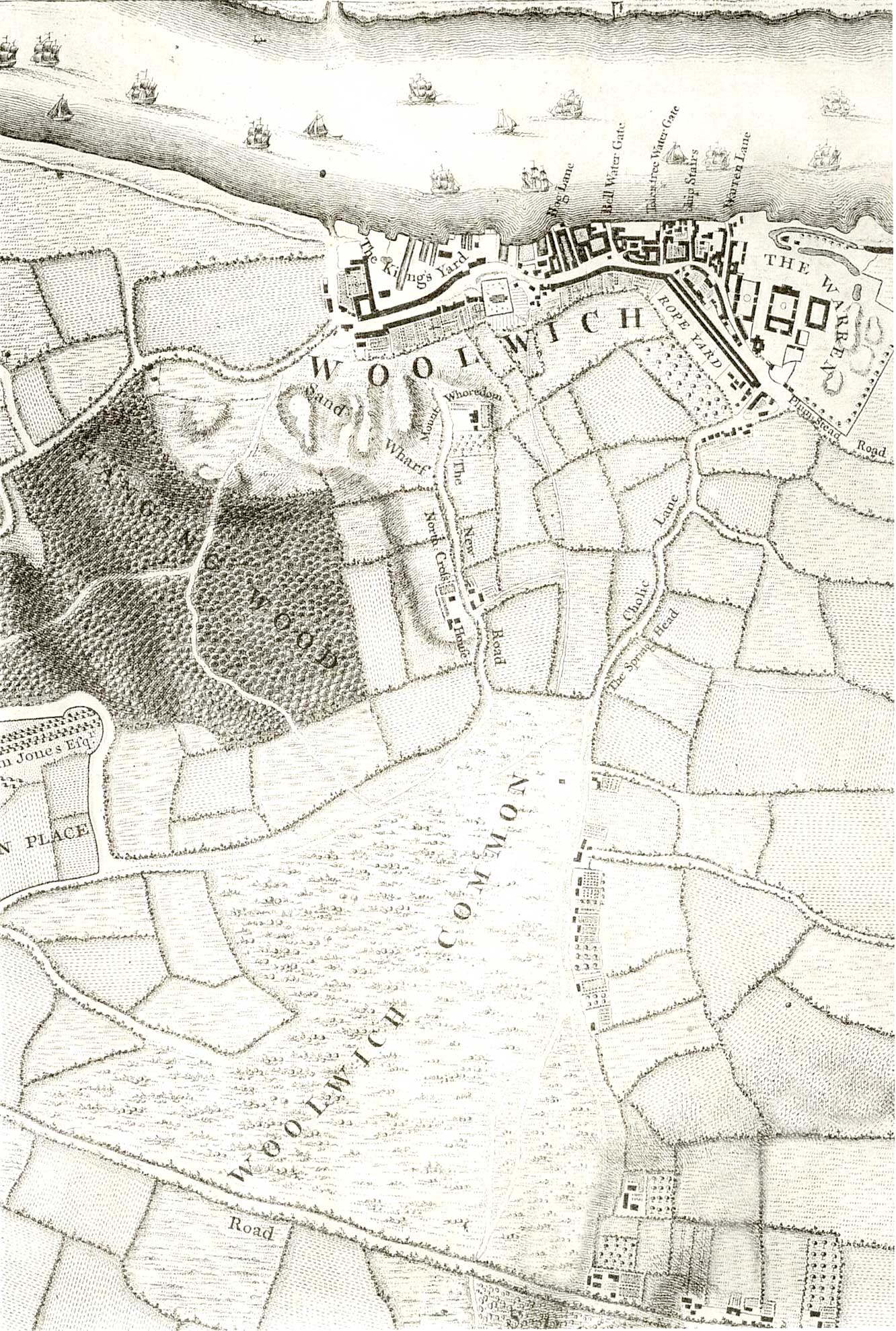
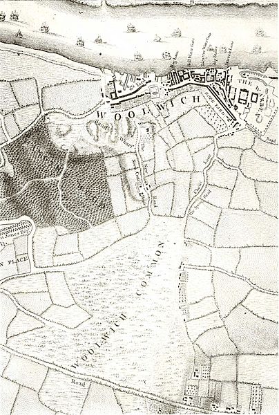
Image: Map of Woolwich, 1746
Size of this preview: 404 × 600 pixels. Other resolutions: 161 × 240 pixels | 1,332 × 1,978 pixels.
Original image (1,332 × 1,978 pixels, file size: 547 KB, MIME type: image/jpeg)
Description: Map of Woolwich in the 18th c. Engraved by Richard Parr, surveyed and published by John Rocque, 1746.
Title: Map of Woolwich, 1746
Credit: http://www.ideal-homes.org.uk/greenwich/assets/historic-maps/woolwich/1746
Author: Richard Parr (engraver), John Rocque (publisher), 1746
Usage Terms: Public domain
License: Public domain
Attribution Required?: No
Image usage
The following page links to this image:

All content from Kiddle encyclopedia articles (including the article images and facts) can be freely used under Attribution-ShareAlike license, unless stated otherwise.