
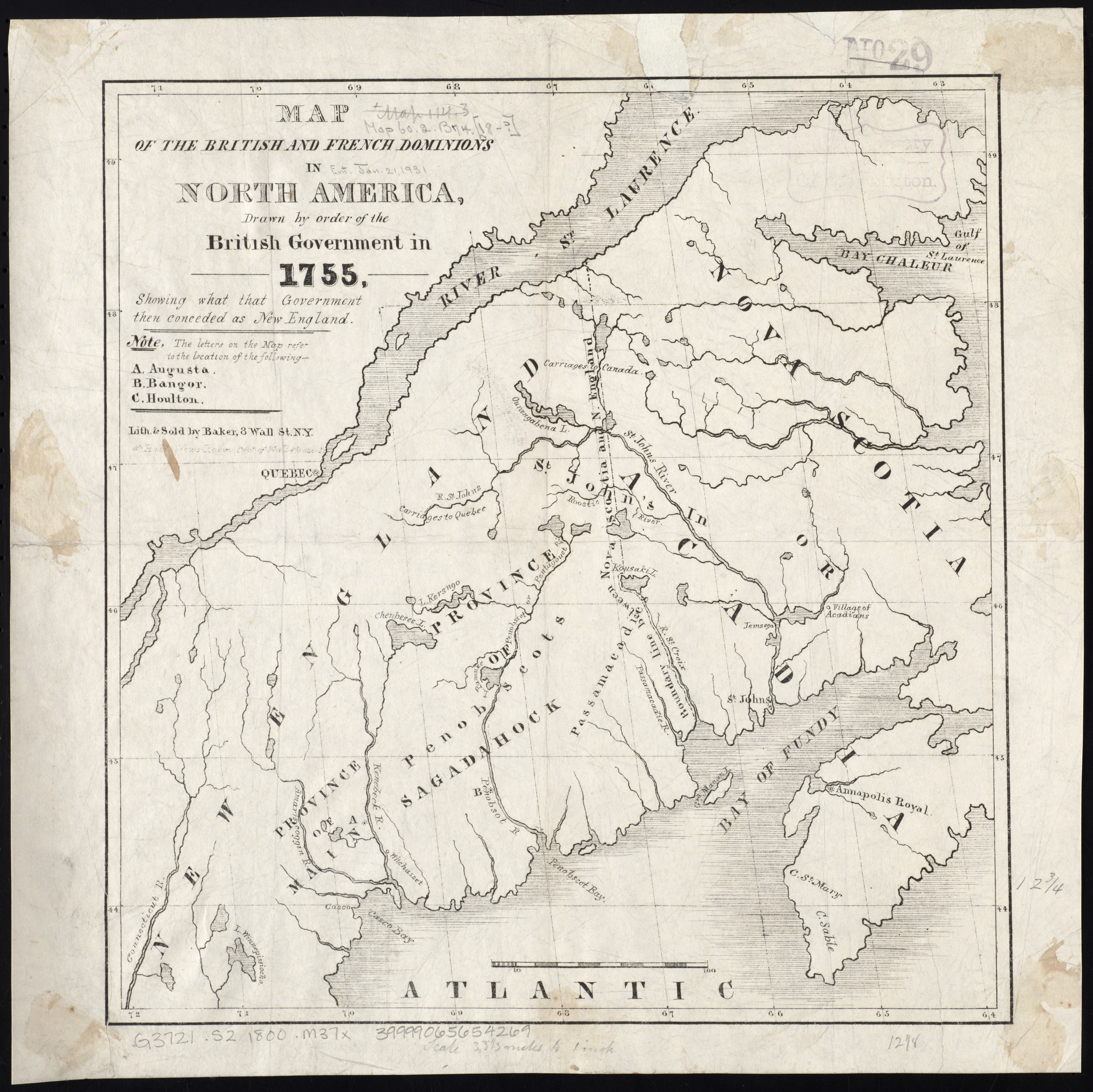
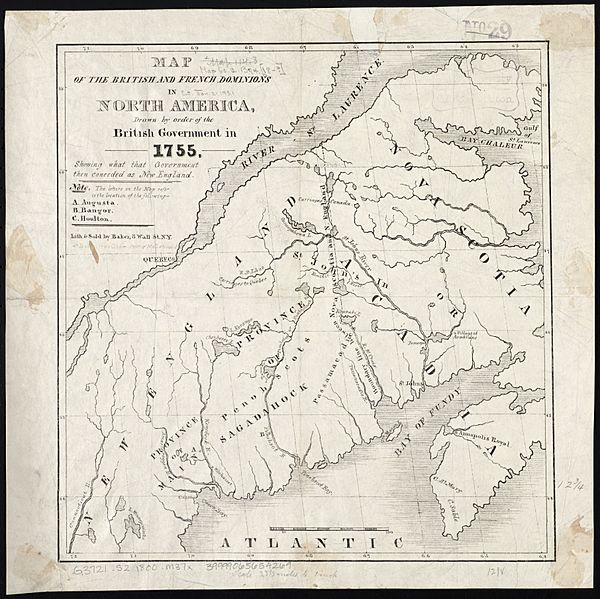
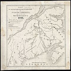
Image: Map of the British and French dominions in North America, drawn by order of the British government in 1755, showing what that government then conceded as New England (9138601070)
Description: Zoom into this map at maps.bpl.org. Publisher: Baker Date: 1800 Location: New England Dimensions: 33 x 31 cm. Scale: Scale [ca. 1:2,100,000] Call Number: G3721.S2 1800 .M37x
Title: Map of the British and French dominions in North America, drawn by order of the British government in 1755, showing what that government then conceded as New England (9138601070)
Credit: Map of the British and French dominions in North America, drawn by order of the British government in 1755, showing what that government then conceded as New England Uploaded by tm
Author: http://maps.bpl.org
Usage Terms: Creative Commons Attribution 2.0
License: CC BY 2.0
License Link: http://creativecommons.org/licenses/by/2.0
Attribution Required?: Yes
Image usage
The following page links to this image:

.jpg)