
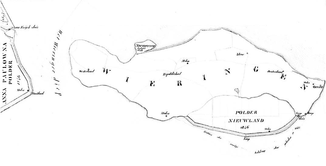
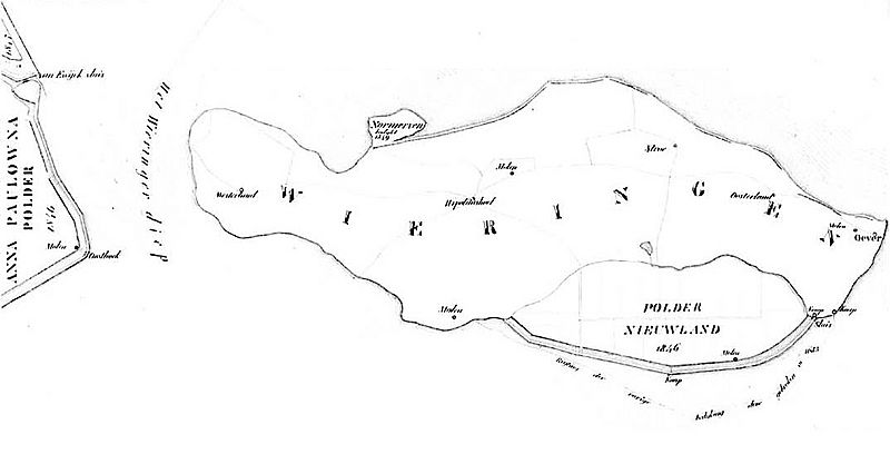
Image: Map of the island Wieringen the Netherlands 1849
Size of this preview: 800 × 408 pixels. Other resolutions: 320 × 163 pixels | 1,073 × 547 pixels.
Original image (1,073 × 547 pixels, file size: 49 KB, MIME type: image/jpeg)
Description: The island Wieringen, the Netherlands.
Title: Map of the island Wieringen the Netherlands 1849
Credit: libserv.tudelft.nl
Author: P. van der Sterr (surveyor)
Usage Terms: Public domain
License: Public domain
Attribution Required?: No
Image usage
The following page links to this image:

All content from Kiddle encyclopedia articles (including the article images and facts) can be freely used under Attribution-ShareAlike license, unless stated otherwise.