
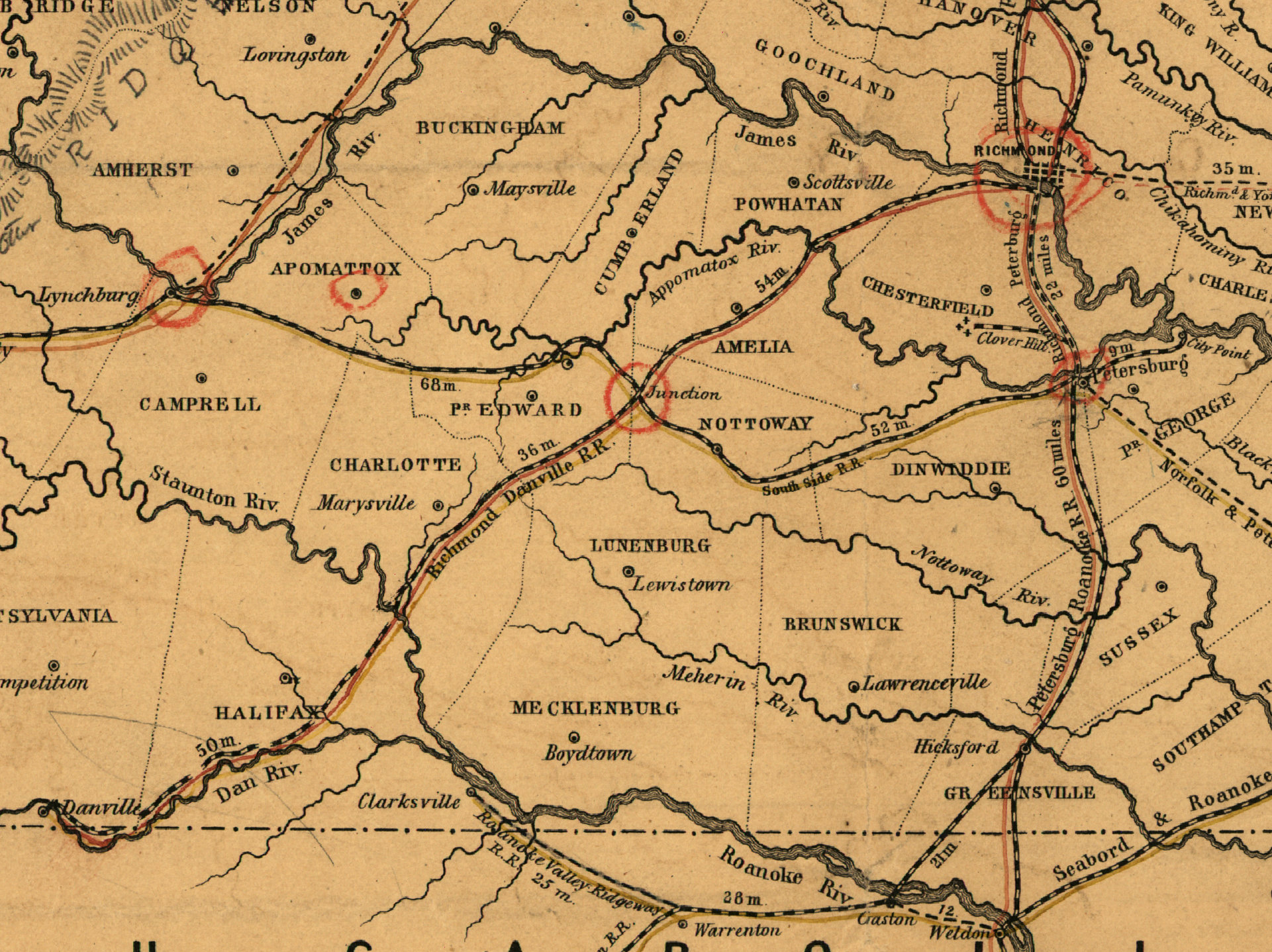
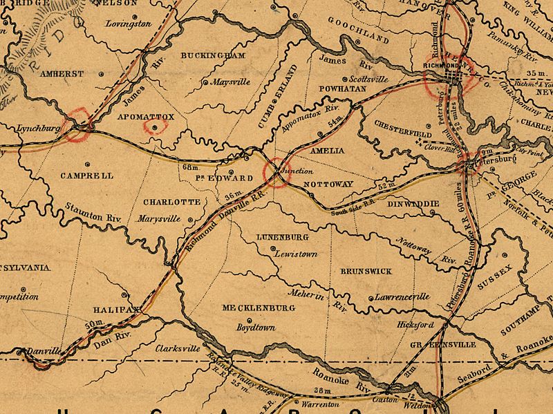
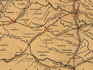
Image: Map of the proposed line of Rail Road connection between tide water Virginia and the Ohio River at Guyandotte, Parkersburg and Wheeling - Cropped to show the Southside Railroad
Description: Map of the proposed line of Rail Road connection between tide water Virginia and the Ohio River at Guyandotte, Parkersburg and Wheeling. It is cropped to show the Southside Railroad.
Title: Map of the proposed line of Rail Road connection between tide water Virginia and the Ohio River at Guyandotte, Parkersburg and Wheeling - Cropped to show the Southside Railroad
Credit: This image is available from the United States Library of Congress's Prints and Photographs division under the digital ID g3881p.rr000810. This tag does not indicate the copyright status of the attached work. A normal copyright tag is still required. See Commons:Licensing for more information.
Author: Vaisz, W. Virginia. Board of Public Works.
Usage Terms: Public domain
License: Public domain
Attribution Required?: No
Image usage
The following page links to this image:
