
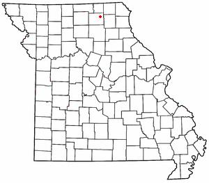
Image: Map of the state of Missouri with a dot indicating the unincorporated community of Adair
No higher resolution available.
Map_of_the_state_of_Missouri_with_a_dot_indicating_the_unincorporated_community_of_Adair.jpg (300 × 263 pixels, file size: 16 KB, MIME type: image/jpeg)
Description: Modified from a map previously uploaded onto Wikipedia, a red dot indicates the position of the unincorporated community of Adair. It will be used in the Wikipedia article for the community.
Title: Map of the state of Missouri with a dot indicating the unincorporated community of Adair
Credit: http://en.wikipedia.org/wiki/File:MOMap-doton-Yarrow.png
Author: Original creator was Rt66lt
Permission: Released under the GNU Free Documentation License.
Usage Terms: Attribution-ShareAlike 3.0
License: Cc-by-sa-3.0
License Link: https://creativecommons.org/licenses/by-sa/3.0/
Image usage
The following page links to this image:

All content from Kiddle encyclopedia articles (including the article images and facts) can be freely used under Attribution-ShareAlike license, unless stated otherwise.