
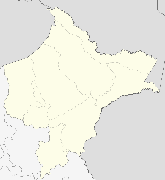
Image: Mapa de localización Loreto

Size of this PNG preview of this SVG file: 553 × 600 pixels. Other resolution: 221 × 240 pixels.
Original image (SVG file, nominally 4,173 × 4,524 pixels, file size: 2.63 MB)
Description: Blank political map of en:Department of Loreto. Equirectangular projection, Geographic limits of the map: N: 0.3020° N S: 8.7400° S W: 78.0000° W E: 69.6650° W
Title: Mapa de localización Loreto
Credit: Own work using: OpenStreetMap.org es:AutoCAD for region´s map bounds This W3C-unspecified vector image was created with Adobe Illustrator. This W3C-unspecified vector image was created with Inkscape .
Author: Waterloo1883
Usage Terms: Creative Commons Attribution-Share Alike 4.0
License: CC BY-SA 4.0
License Link: https://creativecommons.org/licenses/by-sa/4.0
Attribution Required?: Yes
Image usage
The following page links to this image:

All content from Kiddle encyclopedia articles (including the article images and facts) can be freely used under Attribution-ShareAlike license, unless stated otherwise.