
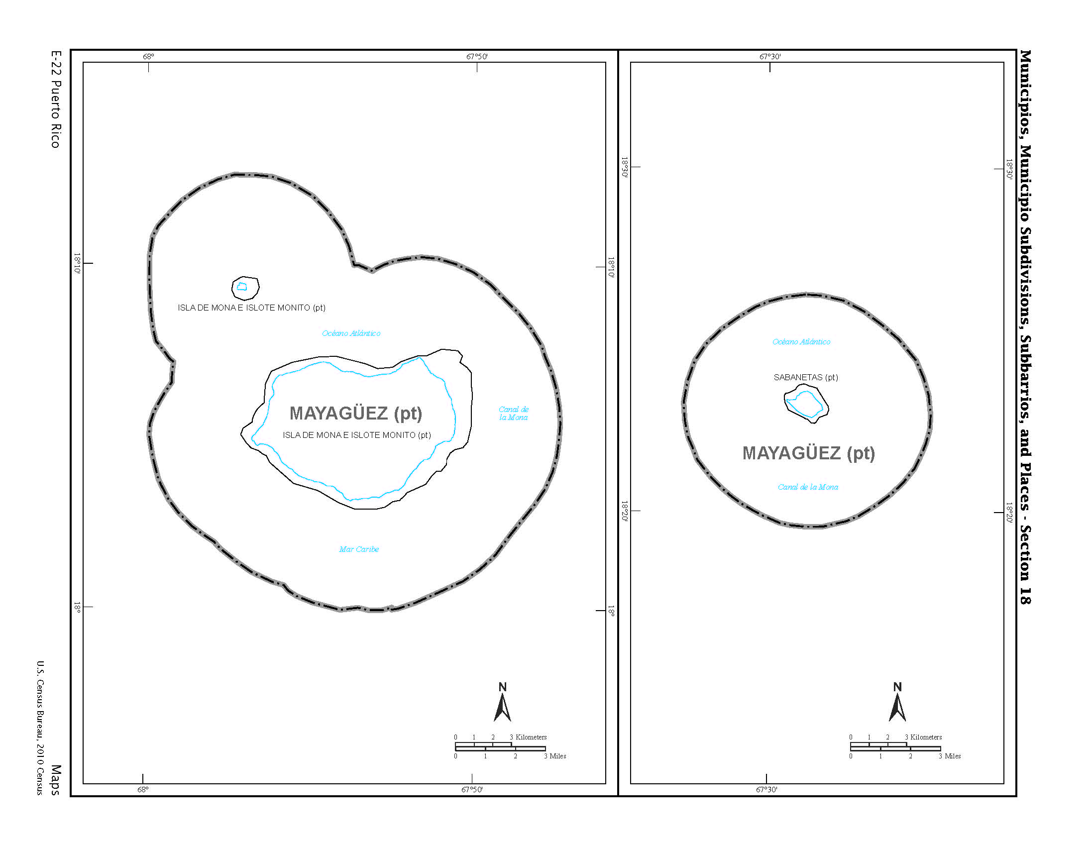
Image: Maps in the Puerto Rico 2010 Census of Population and Housing Page 136
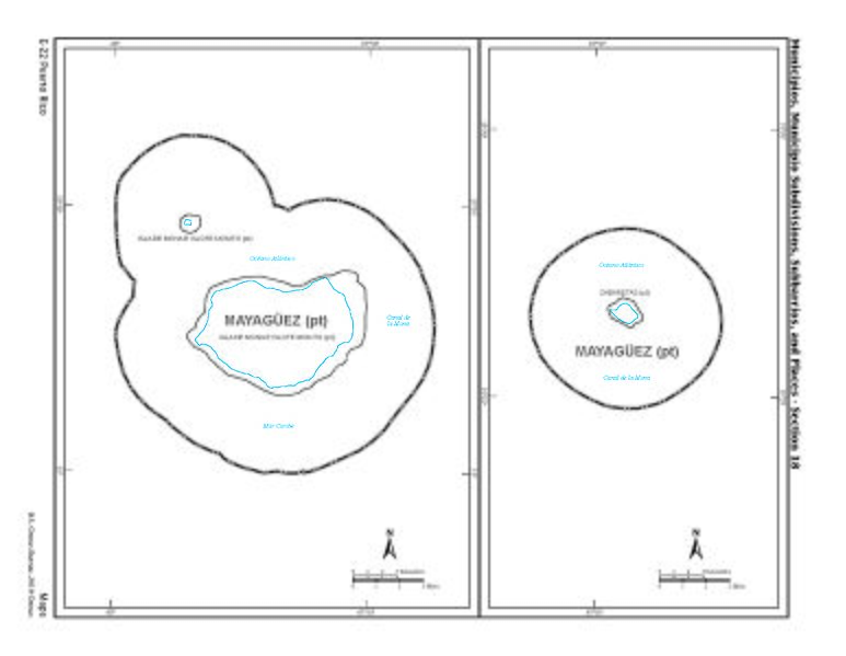
Size of this preview: 773 × 599 pixels. Other resolutions: 310 × 240 pixels | 2,192 × 1,700 pixels.
Original image (2,192 × 1,700 pixels, file size: 210 KB, MIME type: image/jpeg)
Description: Municipios, Municipio Subdivisions, Subbarrios, and Places - Section 2 - by US Census Bureau of 2010, showing map of two islands of Mayagüez in Puerto Rico
Title: Maps in the Puerto Rico 2010 Census of Population and Housing Page 136
Credit: https://permanent.access.gpo.gov/gpo35934/cph-2-53.pdf
Author: US Census Bureau
Usage Terms: Public domain
License: Public domain
Attribution Required?: No
Image usage
The following 2 pages link to this image:

All content from Kiddle encyclopedia articles (including the article images and facts) can be freely used under Attribution-ShareAlike license, unless stated otherwise.