
Image: Matewan West Virginia aerial view

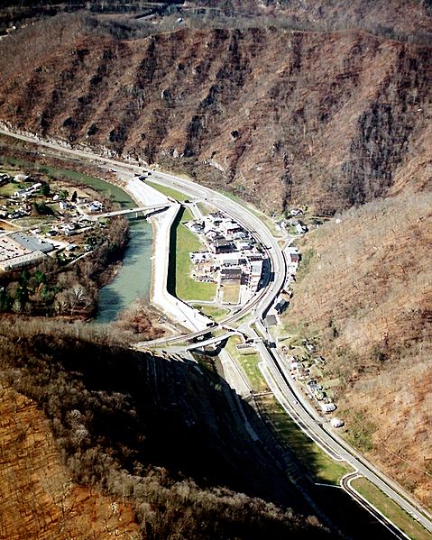
Description: Matewan, West Virginia, USA, along the Tug Fork River. The town is protected by a large floodwall constructed by the U.S. Army Corps of Engineers. The river is the border between West Virginia and Kentucky; Kentucky is on the left and West Virginia is on the right.
Title: Matewan West Virginia aerial view
Credit: U.S. Army Corps of Engineers Digital Visual Library Image page Image description page Digital Visual Library home page
Author: U.S. Army Corps of Engineers, photographer not specified or unknown
Permission: This image or file is a work of a U.S. Army Corps of Engineers soldier or employee, taken or made as part of that person's official duties. As a work of the U.S. federal government, the image is in the public domain. English | italiano | Nederlands | русский | Türkçe | українська | +/−
Usage Terms: Public domain
License: Public domain
Attribution Required?: No
Image usage
The following page links to this image:
