
Image: Merseyside UK location map

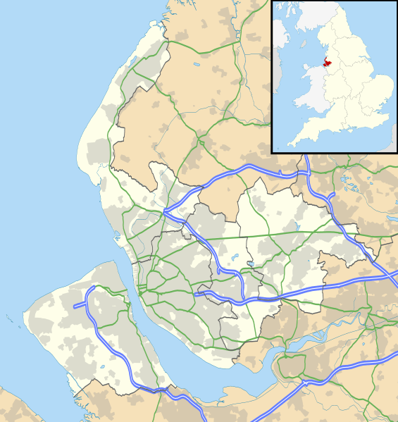
Description: Map of Merseyside, UK with the following information shown: Administrative borders Coastline, lakes and rivers Roads and railways Urban areas Equirectangular map projection on WGS 84 datum, with N/S stretched 165% Geographic limits: West: 3.24W East: 2.54W North: 53.72N South: 53.27N
Title: Merseyside UK location map
Credit: Ordnance Survey OpenData. Administrative borders and coastline data from Boundary-Line product. All other geographic data from Meridian 2 product. Inset derived from England location map.svg by Spischot.
Author: Nilfanion, created using Ordnance Survey data
Permission: This file is licensed under the Creative Commons Attribution-Share Alike 3.0 Unported license. Attribution: Contains Ordnance Survey data © Crown copyright and database right You are free: to share – to copy, distribute and transmit the work to remix – to adapt the work Under the following conditions: attribution – You must give appropriate credit, provide a link to the license, and indicate if changes were made. You may do so in any reasonable manner, but not in any way that suggests the licensor endorses you or your use. share alike – If you remix, transform, or build upon the material, you must distribute your contributions under the same or compatible license as the original. https://creativecommons.org/licenses/by-sa/3.0 CC BY-SA 3.0 Creative Commons Attribution-Share Alike 3.0 truetrue
Usage Terms: Creative Commons Attribution-Share Alike 3.0
License: CC BY-SA 3.0
License Link: https://creativecommons.org/licenses/by-sa/3.0
Attribution Required?: Yes
Image usage
The following 55 pages link to this image:
- Allerton, Liverpool
- Bebington
- Belle Vale, Liverpool
- Birkenhead
- Bootle
- Broadgreen
- Bromborough
- Brownlow Hill infirmary
- Canning, Liverpool
- Church of Our Lady and Saint Nicholas, Liverpool
- Clock Face, St Helens
- Crosby, Merseyside
- Crosby Battery
- Crosby Beach
- Dingle, Liverpool
- Dovecot, Liverpool
- Edge Hill, Liverpool
- Everton, Liverpool
- Everton Road drill hall, Liverpool
- Fairfield, Liverpool
- Formby
- Fort Perch Rock
- Garston, Liverpool
- Grange Road West drill hall, Birkenhead
- Halewood
- Hilbre Islands
- Holy Cross Church, Woodchurch
- Holy Trinity Church, Southport
- Hoylake
- Kensington, Liverpool
- Kirkdale, Liverpool
- Liverpool Playhouse
- Maghull
- Mersey Forest
- Mill Street Barracks, St Helens
- Netherley, Liverpool
- Netherton, Merseyside
- New Brighton, Merseyside
- New Brighton Lighthouse
- New Ferry
- Newton-le-Willows
- Prescot
- Seaforth Battery
- Southport
- St Aidan's Church, Billinge
- St Bride's Church, Liverpool
- St George's United Reformed Church, Thornton Hough
- St Helens, Merseyside
- St Mary's Church, Billinge
- St Mary's Church, West Derby, Liverpool
- St Nicholas Church, Wallasey
- Vauxhall, Liverpool
- Wallasey
- Walton, Liverpool
- Wavertree
