
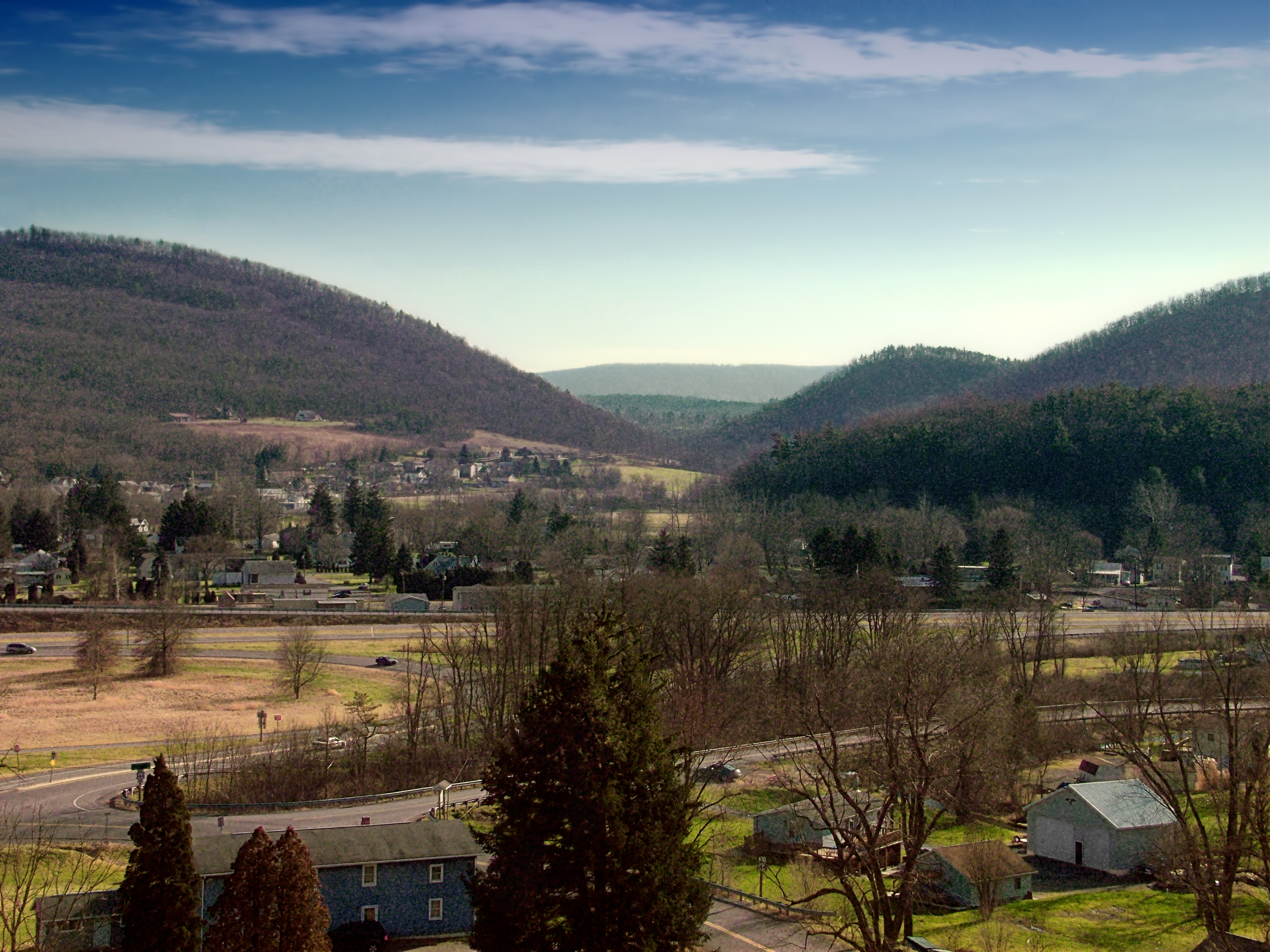
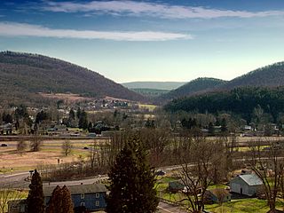
Image: Milesburg Peaks
Description: View south from the Trcziyulny Cemetery, Centre County. Visible here are the town of Milesburg and the interchange of PA Routes 144 and 150. Bald Eagle Mountain lies just beyond the town; Nittany Mountain is visible in the far distance.
Title: Milesburg Peaks
Credit: Flickr: Peaks
Author: Nicholas
Permission: This image, which was originally posted to Flickr.com, was uploaded to Commons using Flickr upload bot on 17:07, 30 December 2011 (UTC) by Gerry D (talk). On that date, it was available under the license indicated. This file is licensed under the Creative Commons Attribution 2.0 Generic license. You are free: to share – to copy, distribute and transmit the work to remix – to adapt the work Under the following conditions: attribution – You must attribute the work in the manner specified by the author or licensor (but not in any way that suggests that they endorse you or your use of the work). http://creativecommons.org/licenses/by/2.0 CC BY 2.0 Creative Commons Attribution 2.0 truetrue
Usage Terms: Creative Commons Attribution 2.0
License: CC BY 2.0
License Link: http://creativecommons.org/licenses/by/2.0
Attribution Required?: Yes
Image usage
The following 2 pages link to this image:
