
Image: Milestone on the route of the old A5 - geograph.org.uk - 189281
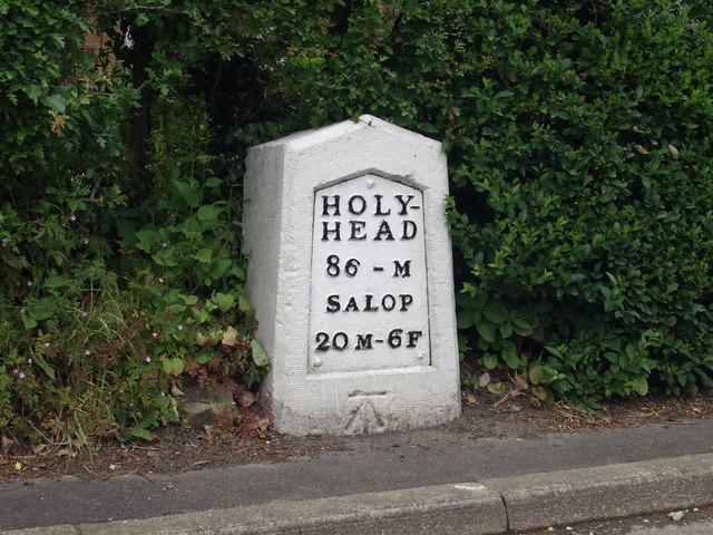
Description: Milestone on the route of the old A5. This is the traditional milestone that are associated with "Telfords Turnpike". This is 86 miles to Holyhead, where the road met the Irish Ferry and 20.75 miles (there were 8 Furlongs to the mile, 1 Furlong is one "furrowlong" = to 220 yards approx 200 metres) to Salop (Shrewsbury) from the Anglo-French Sloppesberrie. "Salop" is the currently accepted abbreviation for Shropshire, the county whose administrative centre is Shrewsbury.
Title: Milestone on the route of the old A5 - geograph.org.uk - 189281
Credit: From geograph.org.uk
Author: John Haynes
Usage Terms: Creative Commons Attribution-Share Alike 2.0
License: CC BY-SA 2.0
License Link: https://creativecommons.org/licenses/by-sa/2.0
Attribution Required?: Yes
Image usage
The following page links to this image:
