
Image: Miramar Peninsula aerial
Size of this preview: 800 × 600 pixels. Other resolutions: 320 × 240 pixels | 2,000 × 1,500 pixels.
Original image (2,000 × 1,500 pixels, file size: 2.13 MB, MIME type: image/jpeg)
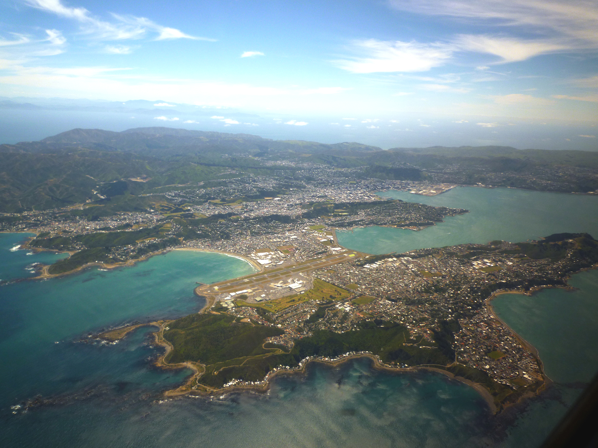
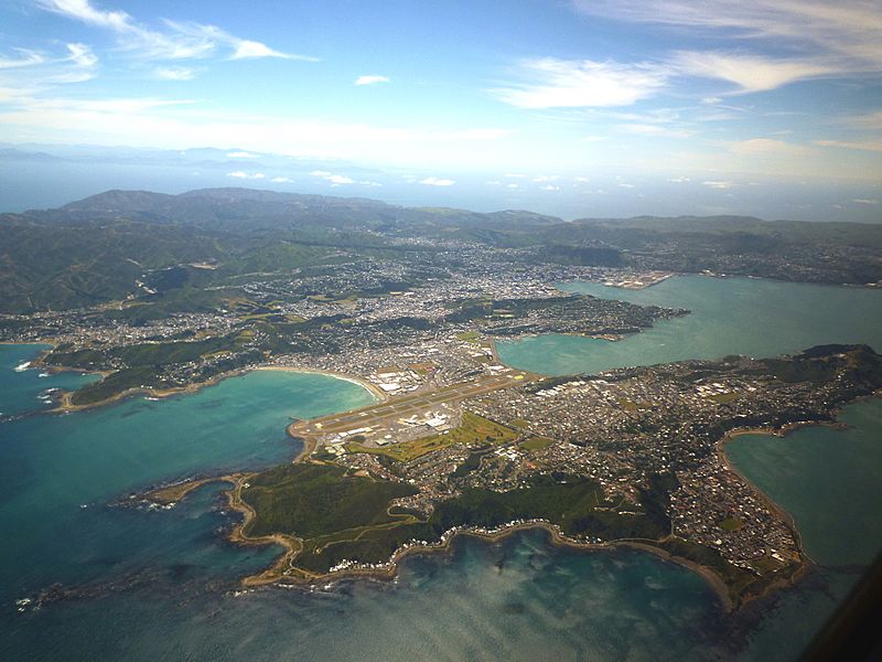
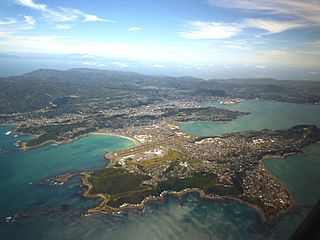
Description: Aerial view of the Miramar Peninsula, Wellington, New Zealand. Wellington International Airport is visible and the beach just above the left-hand end of the runway is Lyall Bay. Downtown Wellington city, the harbour and port can be seen in the distance.
Title: Miramar Peninsula aerial
Credit: Own work
Author: Andrew Cooper
Permission: See below. If you re-use this image please let me know through my user page.
Usage Terms: Creative Commons Attribution 3.0
License: CC BY 3.0
License Link: https://creativecommons.org/licenses/by/3.0
Attribution Required?: Yes
Image usage
The following page links to this image:

All content from Kiddle encyclopedia articles (including the article images and facts) can be freely used under Attribution-ShareAlike license, unless stated otherwise.