
Image: Moor Road (Ryknild Street) - near Breadsall - geograph.org.uk - 214298
No higher resolution available.
Moor_Road_(Ryknild_Street)_-_near_Breadsall_-_geograph.org.uk_-_214298.jpg (640 × 480 pixels, file size: 125 KB, MIME type: image/jpeg)
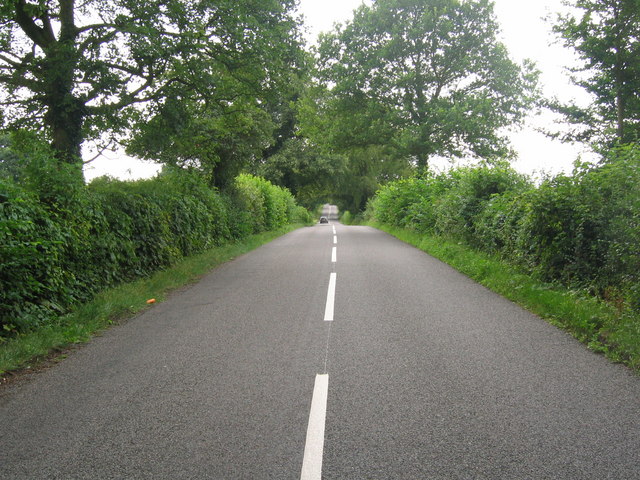
Description: Moor Road (Ryknild Street) - near Breadsall. This dead straight section of Moor Road, on the way to Breadsall, is part of the Roman road known as Ryknild Street which ran from the Fosse Way at Bourton-on-the-Water in the Cotswolds to Templeborough near Rotherham.
Title: Moor Road (Ryknild Street) - near Breadsall - geograph.org.uk - 214298
Credit: From geograph.org.uk
Author: Nikki Mahadevan
Usage Terms: Creative Commons Attribution-Share Alike 2.0
License: CC BY-SA 2.0
License Link: http://creativecommons.org/licenses/by-sa/2.0
Attribution Required?: Yes
Image usage
The following page links to this image:

All content from Kiddle encyclopedia articles (including the article images and facts) can be freely used under Attribution-ShareAlike license, unless stated otherwise.
_-_near_Breadsall_-_geograph.org.uk_-_214298.jpg)