
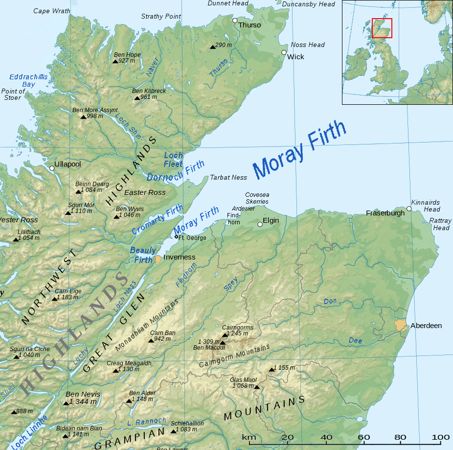
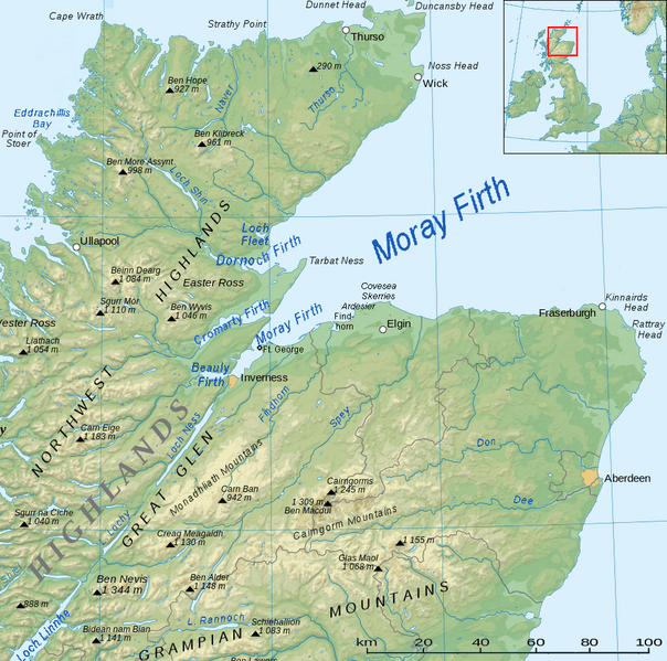
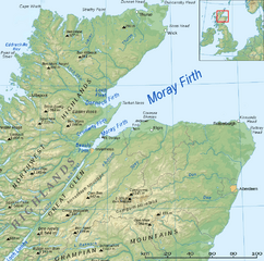
Image: Moray Firth topo
Size of this preview: 604 × 599 pixels. Other resolutions: 242 × 240 pixels | 926 × 919 pixels.
Original image (926 × 919 pixels, file size: 939 KB, MIME type: image/png)
Description: Topographic map of Scotland in German
Author: Eric Gaba (translated by Jörg Schwerdtfeger), cut and adaption Ulamm (talk) 14:51, 1 May 2014 (UTC)
Usage Terms: Creative Commons Attribution-Share Alike 3.0
License: CC-BY-SA-3.0
License Link: http://creativecommons.org/licenses/by-sa/3.0/
Attribution Required?: Yes
Image usage
The following 3 pages link to this image:

All content from Kiddle encyclopedia articles (including the article images and facts) can be freely used under Attribution-ShareAlike license, unless stated otherwise.