
Image: Mount Adams 3503s
Size of this preview: 800 × 533 pixels. Other resolutions: 320 × 213 pixels | 4,392 × 2,928 pixels.
Original image (4,392 × 2,928 pixels, file size: 4.98 MB, MIME type: image/jpeg)
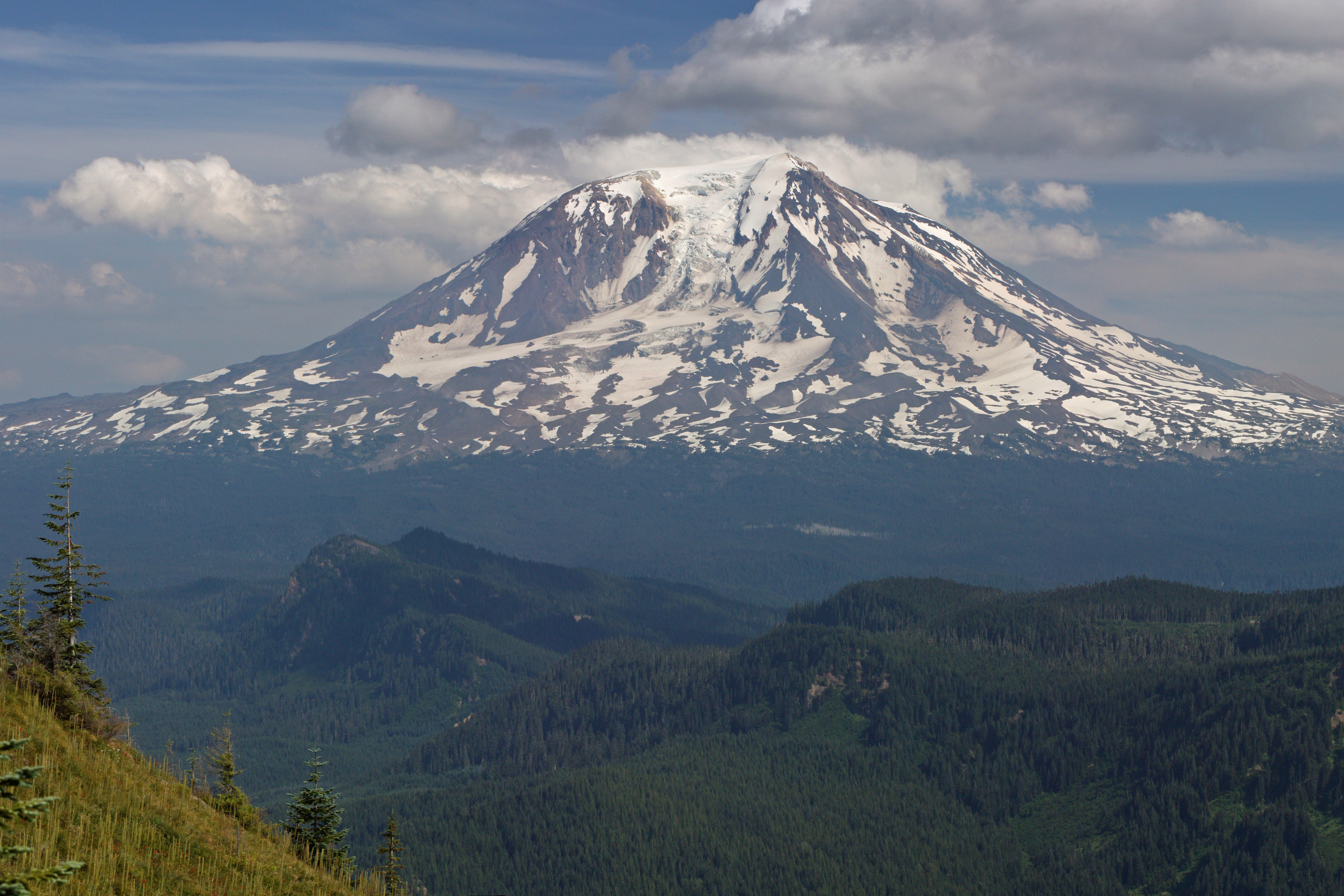
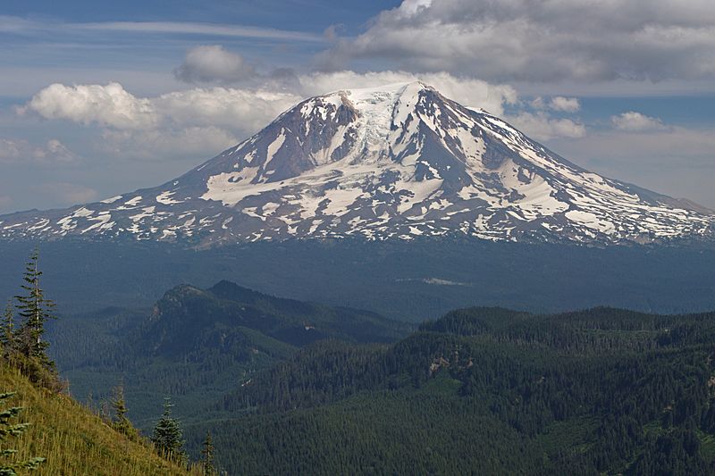
Description: en:Mount Adams, Washington with Adams Glacier (center); Council Bluff (5180 feet, left middle distance); Table Mountain (5080+ feet, right middle distance); stitched panorama; please see "Other versions" for source images. This image was created with Hugin Viewpoint location: Juniper Ridge Trail 261 Dark Divide Viewpoint elevation: 1626 meter (5334 ft) View direction: 120° Location source: Garmin GPSmap 60CSx Location Datum: WGS84
Title: Mount Adams 3503s
Credit: Own work
Author: Walter Siegmund (talk)
Usage Terms: Creative Commons Attribution-Share Alike 3.0
License: CC BY-SA 3.0
License Link: http://creativecommons.org/licenses/by-sa/3.0
Attribution Required?: Yes
Image usage
The following 4 pages link to this image:

All content from Kiddle encyclopedia articles (including the article images and facts) can be freely used under Attribution-ShareAlike license, unless stated otherwise.