
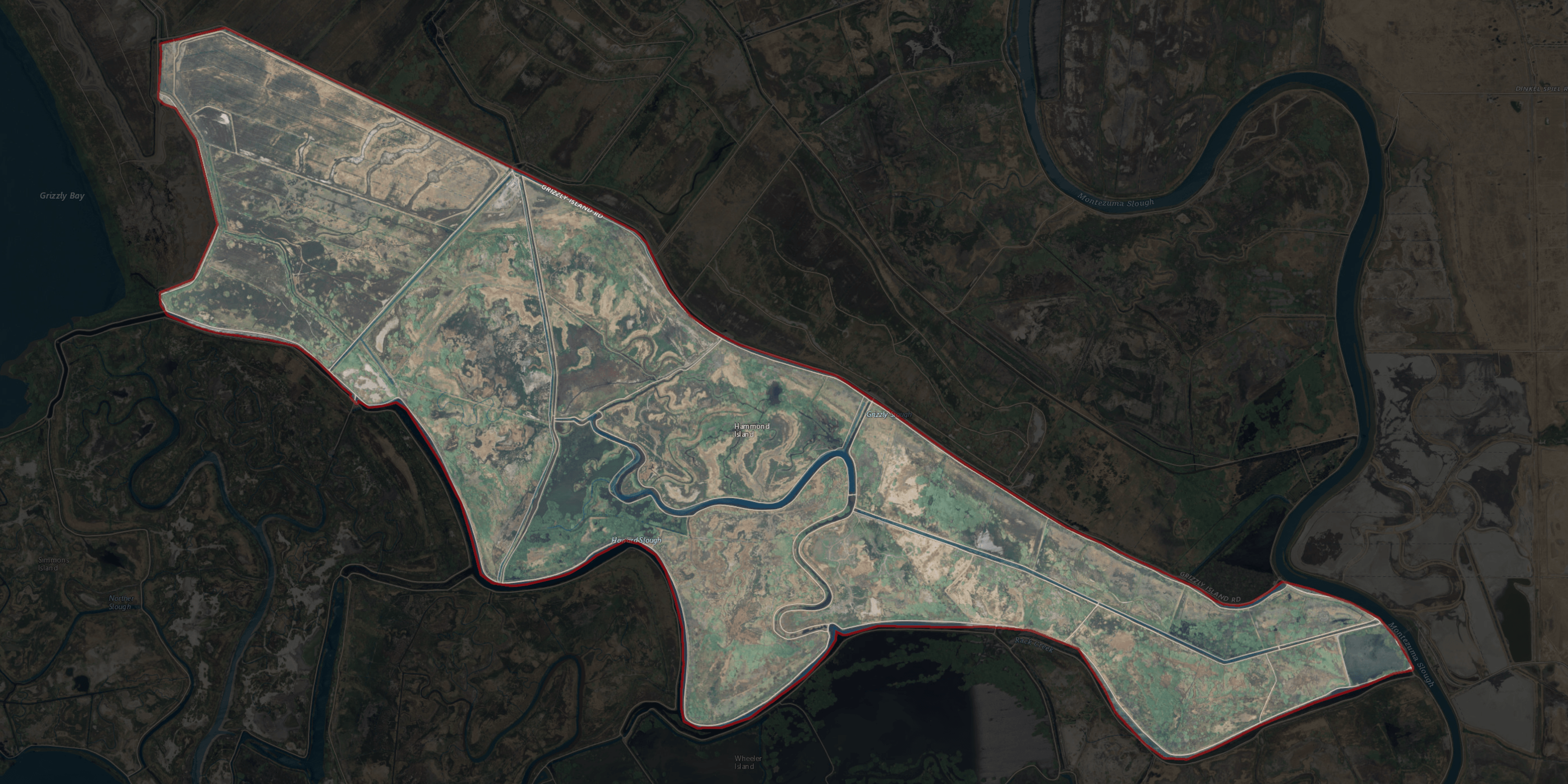
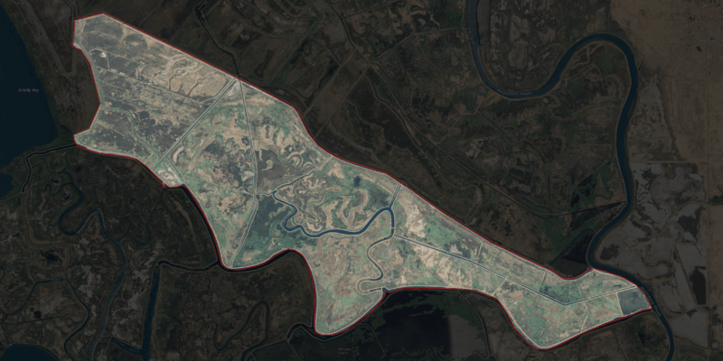
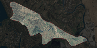
Image: NASA Worldwind, USGS imagery map, Hammond Island, California
Description: USGS aerial imagery of w:Hammond Island, with w:Grizzly Bay to the west, w:Grizzly Island to the north across w:Grizzly Slough, w:Wheeler Island to the south across w:Roaring River Slough, w:Van Sickle Island to the southeast, and w:Simmons Island to the southwest. Backgrounds for these highlight images are black at 85-90% opacity, outlines are 2-10px outside selection border, pure red at 15-25% opacity. Boundaries taken from USGS survey maps (1913 through 2018), reclamation district documents, and county files.
Title: NASA Worldwind, USGS imagery map, Hammond Island, California
Credit: NASA tool at worldwind.earth, USGS Topo Imagery map layer
Author: USGS, self
Permission: This image is in the public domain in the United States because it only contains materials that originally came from the United States Geological Survey, an agency of the United States Department of the Interior. For more information, see the official USGS copyright policy.
Usage Terms: Public domain
License: Public domain
Attribution Required?: No
Image usage
The following page links to this image:
