
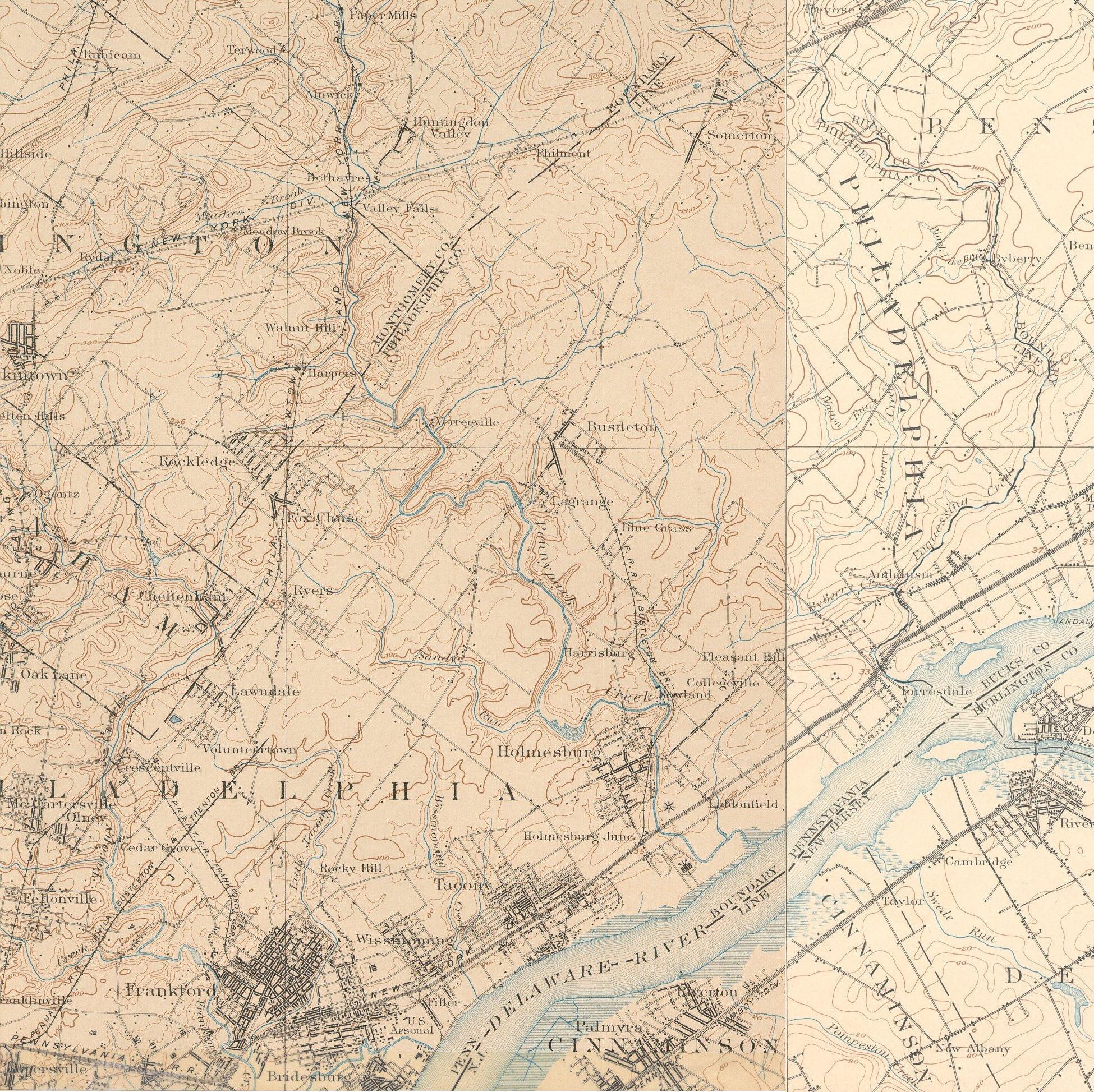
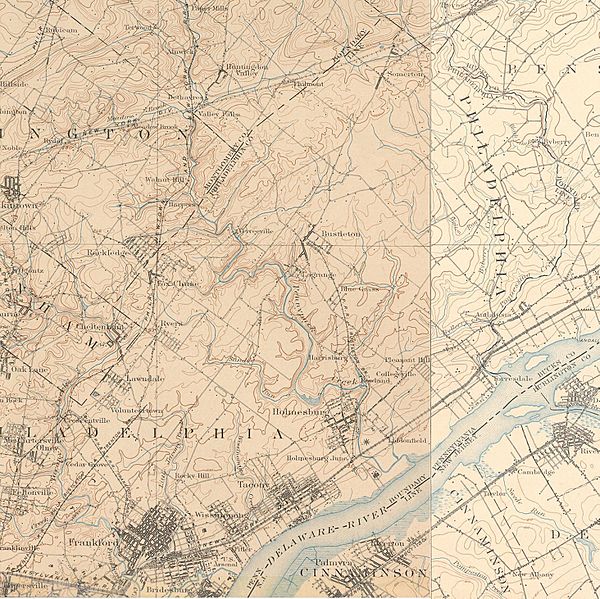
Image: NE-Philadelphia-1898-1902
Size of this preview: 600 × 599 pixels. Other resolutions: 240 × 240 pixels | 1,950 × 1,947 pixels.
Original image (1,950 × 1,947 pixels, file size: 1.11 MB, MIME type: image/jpeg)
Description: Old map showing Northeast Philadelphia around 1900. Composite of two United States Geological Survey (USGS) maps dating from 1898 and 1902
Title: NE-Philadelphia-1898-1902
Credit: Transferred from en.wikipedia to Commons.
Author: The original uploader was Coemgenus at English Wikipedia
Permission: PD-USGov-DOI
Usage Terms: Public domain
License: Public domain
Attribution Required?: No
Image usage
The following page links to this image:

All content from Kiddle encyclopedia articles (including the article images and facts) can be freely used under Attribution-ShareAlike license, unless stated otherwise.