
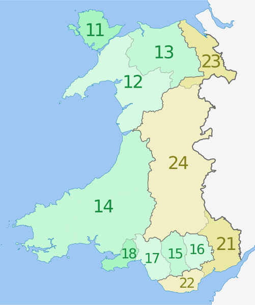
Image: NUTS 3 regions of Wales map

Size of this PNG preview of this SVG file: 501 × 599 pixels. Other resolution: 201 × 240 pixels.
Original image (SVG file, nominally 1,047 × 1,252 pixels, file size: 325 KB)
Description: Map of the NUTS 3 regions of Wales, United Kingdom. Equirectangular projection, N/S stretching 163 %. Geographic limits of the map: N: 53.5° N S: 51.3° N W: 5.5° W E: 2.5° W
Title: NUTS 3 regions of Wales map
Credit: This file was derived from Wales location map.svg:
Author: Wales_location_map.svg: NordNordWest, using United States National Imagery and Mapping Agency data derivative work: Dr Greg
Usage Terms: Creative Commons Attribution-Share Alike 3.0
License: CC BY-SA 3.0
License Link: http://creativecommons.org/licenses/by-sa/3.0
Attribution Required?: Yes
Image usage
The following page links to this image:

All content from Kiddle encyclopedia articles (including the article images and facts) can be freely used under Attribution-ShareAlike license, unless stated otherwise.