
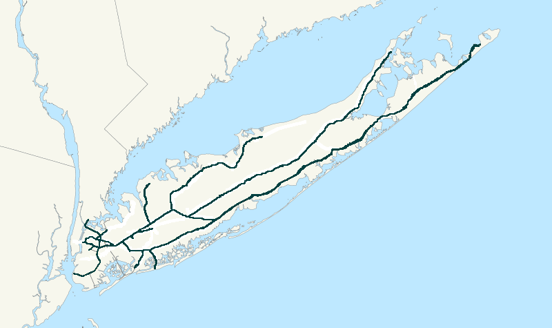
Image: NY&A System Map
No higher resolution available.
NY&A_System_Map.PNG (800 × 475 pixels, file size: 77 KB, MIME type: image/png)
Description: Map of the New York and Atlantic Railway system, using tracks owned by both the Long Island Rail Road and CSX Transportation.
Title: NY&A System Map
Credit: I created this work entirely by myself.
Author: Central Data Bank (talk)
Usage Terms: Creative Commons Attribution 3.0
License: CC-BY-3.0
License Link: https://creativecommons.org/licenses/by/3.0/
Attribution Required?: Yes
Image usage
There are no pages that link to this image.

All content from Kiddle encyclopedia articles (including the article images and facts) can be freely used under Attribution-ShareAlike license, unless stated otherwise.