
Image: NZ-Auckland plain map
No higher resolution available.
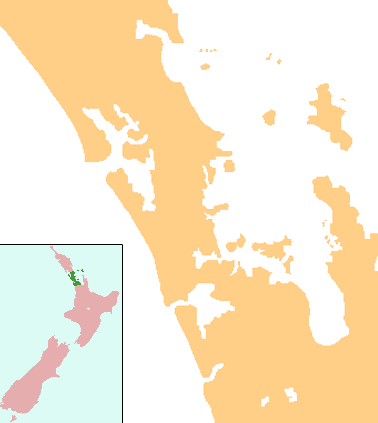
NZ-Auckland_plain_map.png (378 × 423 pixels, file size: 28 KB, MIME type: image/png)
Description: Locator map for Auckland Region, New Zealand
Title: NZ-Auckland plain map
Credit: combination of Image:NZ-NI plain map.png and Image:Position_of_Auckland_Region.png
Author: Grutness
Permission: public domain
Usage Terms: Public domain
License: Public domain
Attribution Required?: No
Image usage
The following 40 pages link to this image:
- Ahuroa
- Auckland Airport
- Coatesville, New Zealand
- Coxs Bay
- Great Barrier Aerodrome
- Gulf Harbour
- Helensville
- Hibiscus Coast
- Huapai
- Kaipara Flats
- Kaukapakapa
- Kauri Point Armament Depot
- Kumeū
- Lake Kereta
- Lake Pupuke
- Lake Rototoa
- Leigh, New Zealand
- Lower Nihotupu Reservoir
- Mairangi Bay
- Manly, New Zealand
- Okiwi Airfield
- Pakiri
- Parakai
- Paremoremo
- Port Albert, New Zealand
- Rodney District
- Snells Beach
- Stanmore Bay
- Tapora
- Tauhoa
- Taupaki
- Tomarata
- Upper Nihotupu Reservoir
- Waimauku
- Wainui
- Waioneke
- Waitoki
- Waitākere Reservoir
- Warkworth, New Zealand
- Wellsford

All content from Kiddle encyclopedia articles (including the article images and facts) can be freely used under Attribution-ShareAlike license, unless stated otherwise.