
Image: Naches-River-near-Yakima
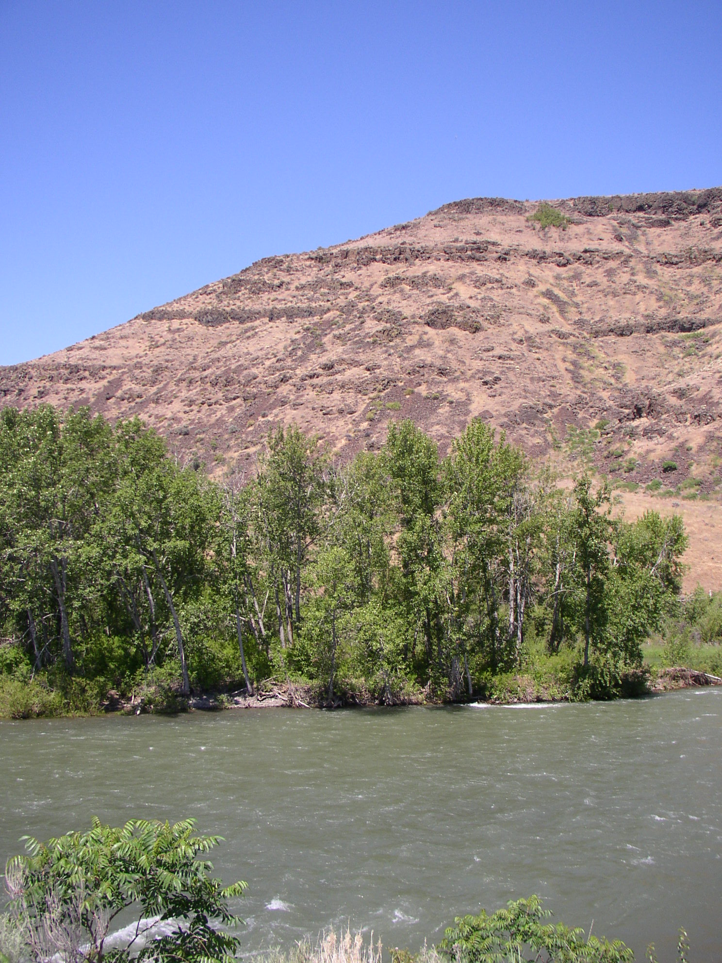
Description: The w:Naches River is a w:tributary of the w:Yakima River in central w:Washington in the w:United States. Beginning as the Little Naches River, it is about 75 miles (121 km) long.[1] After the confluence of the Little Naches and w:Bumping River the name becomes simply the Naches River. The Naches and its tributaries drain a portion of the eastern side of the w:Cascade Range, east of w:Mount Rainier and northeast of Mount Adams. In terms of discharge, the Naches River is the largest tributary of the Yakima River. In its upper reaches, the w:Naches River basin includes rugged mountains and wildernesses. The lower Naches River and its tributary the w:Tieton River flow through valleys with towns and irrigated orchards northwest of Yakima, where the Naches River joins the w:Yakima River. Historically, the river served as an important travel corridor between the east and west sides of the Cascades, via w:Naches Pass, used by both Native Americans and w:settlers.
Title: Naches-River-near-Yakima
Credit: Own work
Author: Williamborg 04:19, 29 May 2007 (UTC)
Usage Terms: Public domain
License: Public domain
Attribution Required?: No
Image usage
The following page links to this image:
