
Image: Negro Hollow satellite map
No higher resolution available.
Negro_Hollow_satellite_map.PNG (287 × 521 pixels, file size: 312 KB, MIME type: image/png)
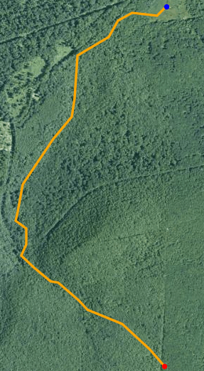
Description: Satellite map of Negro Hollow. The red dot is the stream's source and blue dot is its mouth. Data available from U.S. Geological Survey, National Geospatial Program.
Title: Negro Hollow satellite map
Credit: http://viewer.nationalmap.gov/viewer/
Author: United States Geological Survey
Usage Terms: Public domain
License: Public domain
Attribution Required?: No
Image usage
The following page links to this image:

All content from Kiddle encyclopedia articles (including the article images and facts) can be freely used under Attribution-ShareAlike license, unless stated otherwise.