
Image: New Orleans Section and West Bank 1998 Map
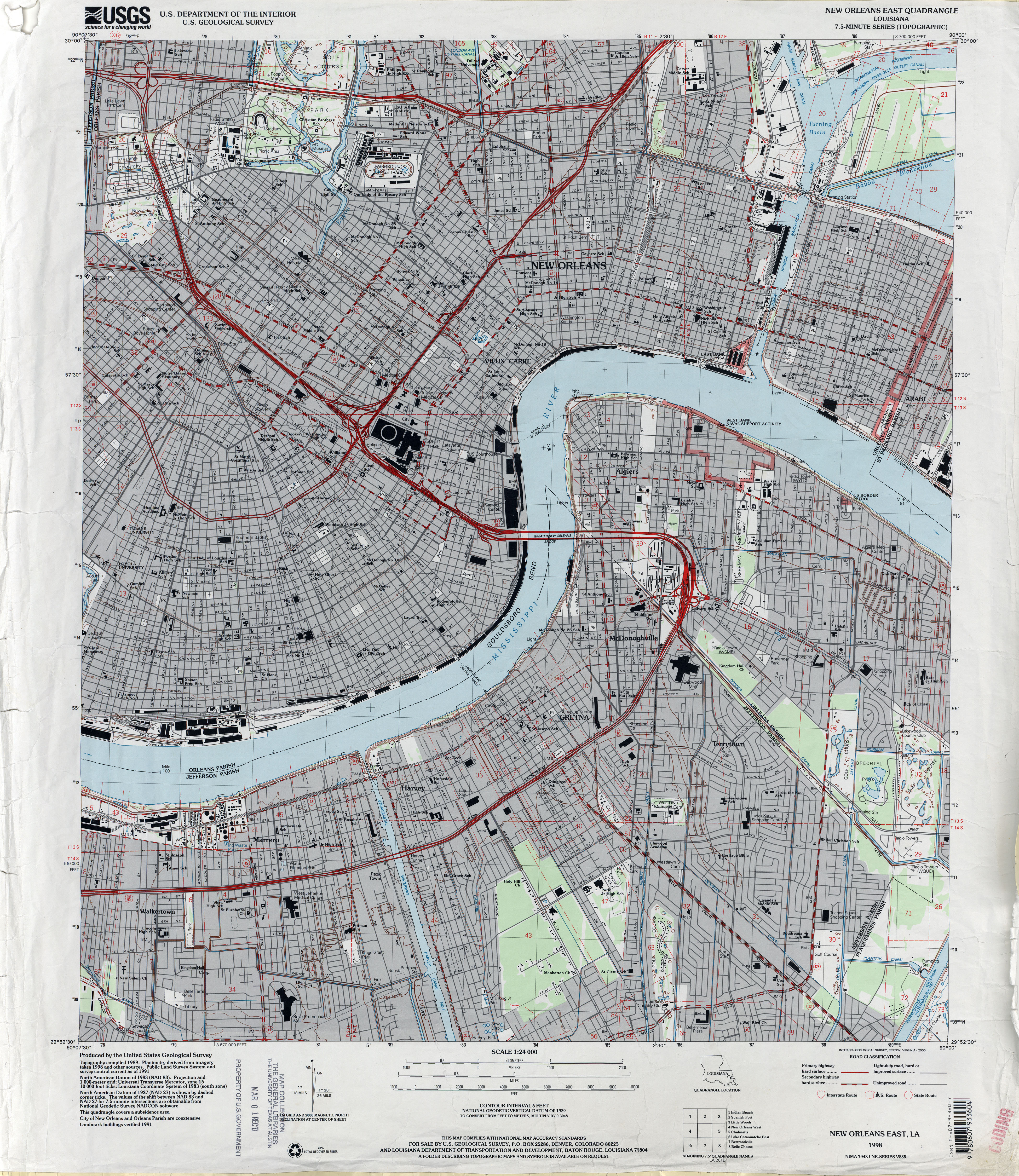
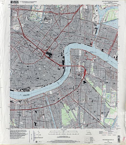
Description: 1998 map of New Orleans, showing the section of the city closer to the Mississippi River, from about Mid-City to just below Audubon Park to the Lower 9th Ward, together with Algiers and the West Bank Jefferson Parish suburbs including Marrero, Harvey, Gretna.
Title: New Orleans Section and West Bank 1998 Map
Credit: U.S. Geological Survey map, 1998, via [1]
Author: U.S. Geological Survey
Permission: This work is in the public domain in the United States because it is a work prepared by an officer or employee of the United States Government as part of that person’s official duties under the terms of Title 17, Chapter 1, Section 105 of the US Code. See Copyright. Note: This only applies to original works of the Federal Government and not to the work of any individual U.S. state, territory, commonwealth, county, municipality, or any other subdivision. This template also does not apply to postage stamp designs published by the United States Postal Service since 1978. (See § 313.6(C)(1) of Compendium of U.S. Copyright Office Practices). It also does not apply to certain US coins; see The US Mint Terms of Use. This file has been identified as being free of known restrictions under copyright law, including all related and neighboring rights.
Usage Terms: Public domain
License: Public domain
Attribution Required?: No
Image usage
The following 33 pages link to this image:
- Algiers Point
- American Chicle Company Building
- Caesars Superdome
- Congo Square
- Gallier Hall
- General Beauregard Equestrian Statue
- Hermann–Grima House
- Jackson Square (New Orleans)
- John Minor Wisdom United States Court of Appeals Building
- Lafitte's Blacksmith Shop
- Longue Vue House and Gardens
- Louisiana State Bank Building
- Madame John's Legacy
- Napoleon House
- National American Bank Building
- New Orleans Cotton Exchange
- New Orleans Jazz National Historical Park
- New Orleans Mint
- Old Ursuline Convent, New Orleans
- Orpheum Theater (New Orleans)
- Pitot House
- Pontalba Buildings
- Robert E. Lee Monument (New Orleans, Louisiana)
- Saenger Theatre (New Orleans)
- St. Alphonsus Church, New Orleans
- St. Mary's Assumption Church (New Orleans, Louisiana)
- St. Patrick's Church (New Orleans, Louisiana)
- St. Vincent De Paul Roman Catholic Church (New Orleans, Louisiana)
- The Presbytere
- U.S. Army Supply Base New Orleans
- Union Bethel A.M.E. Church (New Orleans, Louisiana)
- United States Custom House (New Orleans)
- Vieux Carre Property Owners, Residents and Associates – VCPORA
