
Image: North Korea launch site in Sea of Japan map
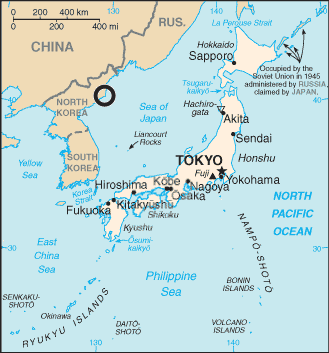
Description: Map of Sea of Japan with circle locating North Korea Tonghae Satellite Launching Ground (previously Musudan-ri) and the text "Sea of Japan" only
Title: North Korea launch site in Sea of Japan map
Credit: File:Japan sea map.png from the World CIA Factbook
Author: 84user added the circle, CIA made the map
Permission: This image is in the public domain because it contains materials that originally came from the United States Central Intelligence Agency's World Factbook. Беларуская (тарашкевіца) | বাংলা | Čeština | Deutsch | Zazaki | English | Esperanto | Español | Eesti | Suomi | Français | Hrvatski | Italiano | 日本語 | ქართული | 한국어 | Македонски | മലയാളം | Nederlands | Norsk nynorsk | Polski | Português | Русский | Sicilianu | Slovenščina | Српски / srpski | தமிழ் | Türkçe | Українська | 中文 | 中文(简体) | 中文(繁體) | +/−
Usage Terms: Public domain
License: Public domain
Attribution Required?: No
Image usage
The following page links to this image:
