
Image: Northlasv
Size of this preview: 800 × 292 pixels. Other resolutions: 320 × 117 pixels | 1,011 × 369 pixels.
Original image (1,011 × 369 pixels, file size: 123 KB, MIME type: image/jpeg)
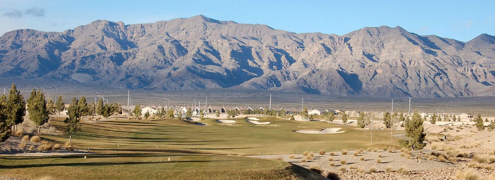
Description: The southern section of the Las Vegas Range, and the Aliante Golf Club in the Las Vegas Valley — in Clark County, southern Nevada. The highest point of the range is Gass Peak at 6,943 feet (2,116 m) (left-center in photo). The range has a long north-south ridgeline-(lower in elevation), with the southern end forming a en:massif, probably caused by the same transform (strike/slip) fault that created Red Rock Park west of Las Vegas, and causing the uplift of Mount Charleston, (with its seabed fossils).
Title: Northlasv
Credit: Own work
Author: Meridethmyers
Usage Terms: Public domain
License: Public domain
Attribution Required?: No
Image usage
The following 3 pages link to this image:

All content from Kiddle encyclopedia articles (including the article images and facts) can be freely used under Attribution-ShareAlike license, unless stated otherwise.